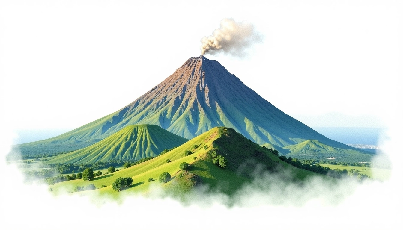
Mount Agung (3031m)
Embed This Widget
Add the script tag and a data attribute to embed this widget.
Embed via iframe for maximum compatibility.
<iframe src="https://mountainfyi.com/iframe/entity//" width="420" height="400" frameborder="0" style="border:0;border-radius:10px;max-width:100%" loading="lazy"></iframe>Paste this URL in WordPress, Medium, or any oEmbed-compatible platform.
https://mountainfyi.com/entity//Add a dynamic SVG badge to your README or docs.
[](https://mountainfyi.com/entity//)Use the native HTML custom element.
Mount AgungはIndonesiaに位置し、標高3031 mです, Asia. この山はStratovolcanoに分類されます。
標高比較
この山について
Mount Agung (3031m) is a stratovolcano in Indonesia, Indonesia. Grade 3/5: strenuous climb with technical sections demanding experience. This stratovolcano rises steeply from the surrounding terrain with a classic conical profile.
ルート
季節コンディション
地形分析
等高線地図

The topographic contour map of Mount Agung (3031m) shows near-circular, closely spaced contours indicating steep conical slopes. Contour lines are drawn at 50m intervals, with index contours (thicker lines) every 250m. The hypsometric color scale ranges from green (lower elevations) through yellow and orange to white (highest elevations near the 3,031m summit).
標高プロフィール

The east–west elevation profile of Mount Agung (3031m) shows the terrain cross-section through the summit at 3,031m. The color gradient transitions from green (valley floor) to white (summit zone), with the red summit marker indicating the peak.