Dhaulagiri IV (7661m)
5Dhaulagiri IVはNepalに位置し、標高7661 mです, Himalayasの一部, Asia. この山はFold Mountainに分類されます。
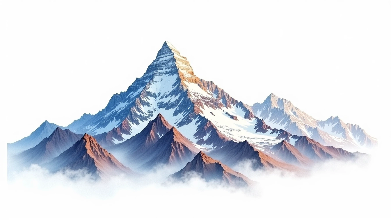
Dhaulagiri IV is one of the higher satellite summits of the Dhaulagiri Himal in north-central Nepal, reaching 7,661 metres to the west of Dhaulagiri I. It has long carried a reputation as one of the more difficult and dangerous seven-thousanders, having repelled numerous expeditions and claimed lives before and after its first ascent in 1975. A Himalayan fold peak, it was raised by the collision of the Indian and Eurasian plates. The site classifies it grade 5, its most severe tier, reflecting sustained technical difficulty at altitude. Rarely climbed, it draws only occasional attempts by parties working through the wider Dhaulagiri group.
On this page
標高比較
この山について
Dhaulagiri IV (7661m) is a fold mountain in the Himalayas, Nepal. Grade 5/5: extreme expedition where supplemental oxygen is typically required. Formed by tectonic compression, it displays layered rock strata typical of fold ranges.
ルート
季節コンディション
地形分析
等高線地図
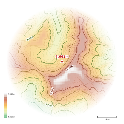
The topographic contour map of Dhaulagiri IV (7661m) in the Himalayas shows elongated parallel contours following the ridge axis. Contour lines are drawn at 100m intervals, with index contours (thicker lines) every 500m. The hypsometric color scale ranges from green (lower elevations) through yellow and orange to white (highest elevations near the 7,661m summit). Above 4,500m, the estimated snow line at this latitude, contours transition to cooler tones indicating permanent snow and ice.
標高プロフィール
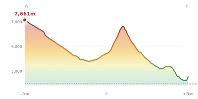
The east–west elevation profile of Dhaulagiri IV (7661m) in the Himalayas shows the terrain cross-section through the summit at 7,661m. The color gradient transitions from green (valley floor) to white (summit zone), with the red summit marker indicating the peak. The dashed blue snow line at 4,500m marks the approximate elevation above which permanent snow persists year-round.