Cho Oyu (8188m)
4Cho OyuはNepalに位置し、標高8188 mです, Himalayasの一部, Asia. この山はFold Mountainに分類されます。
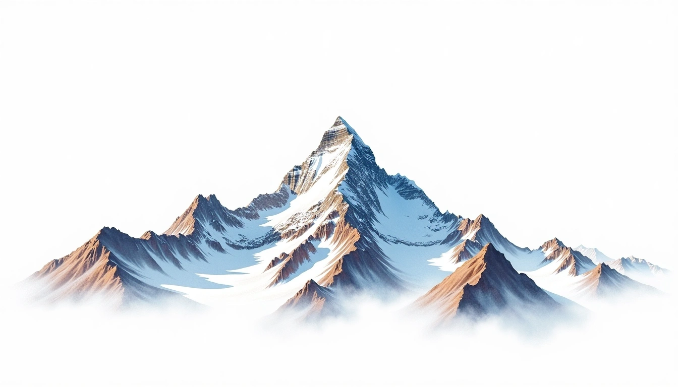
Cho Oyu, the sixth-highest mountain on Earth at 8,188 metres, sits on the Nepal–Tibet border a short way west of Everest in the Mahalangur Himalaya. Its name translates from Tibetan as “Turquoise Goddess.” Among the eight-thousanders it holds the site's grade 4 rating, a notch below the most severe peaks, and its comparatively moderate northwest slopes have made it the most frequently summited of the 8,000-metre giants. It is nonetheless a fold mountain of great scale, and even its gentler flanks demand acclimatisation to extreme altitude, glacier travel, and settled weather for a safe ascent to the broad summit plateau.
On this page
標高比較
この山について
Cho Oyu (8188m) is a fold mountain in the Himalayas, Nepal. Grade 4/5: technical ascent requiring mountaineering skills and equipment. Offers one of the most spectacular ridgelines in the Karakoram and is rarely climbed.
ルート
季節コンディション
地形分析
等高線地図
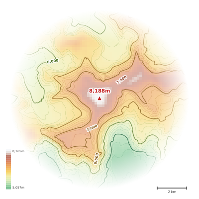
The topographic contour map of Cho Oyu (8188m) in the Himalayas shows elongated parallel contours following the ridge axis. Contour lines are drawn at 100m intervals, with index contours (thicker lines) every 500m. The hypsometric color scale ranges from green (lower elevations) through yellow and orange to white (highest elevations near the 8,188m summit). Above 4,500m, the estimated snow line at this latitude, contours transition to cooler tones indicating permanent snow and ice.
標高プロフィール
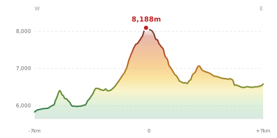
The east–west elevation profile of Cho Oyu (8188m) in the Himalayas shows the terrain cross-section through the summit at 8,188m. The color gradient transitions from green (valley floor) to white (summit zone), with the red summit marker indicating the peak. The dashed blue snow line at 4,500m marks the approximate elevation above which permanent snow persists year-round.