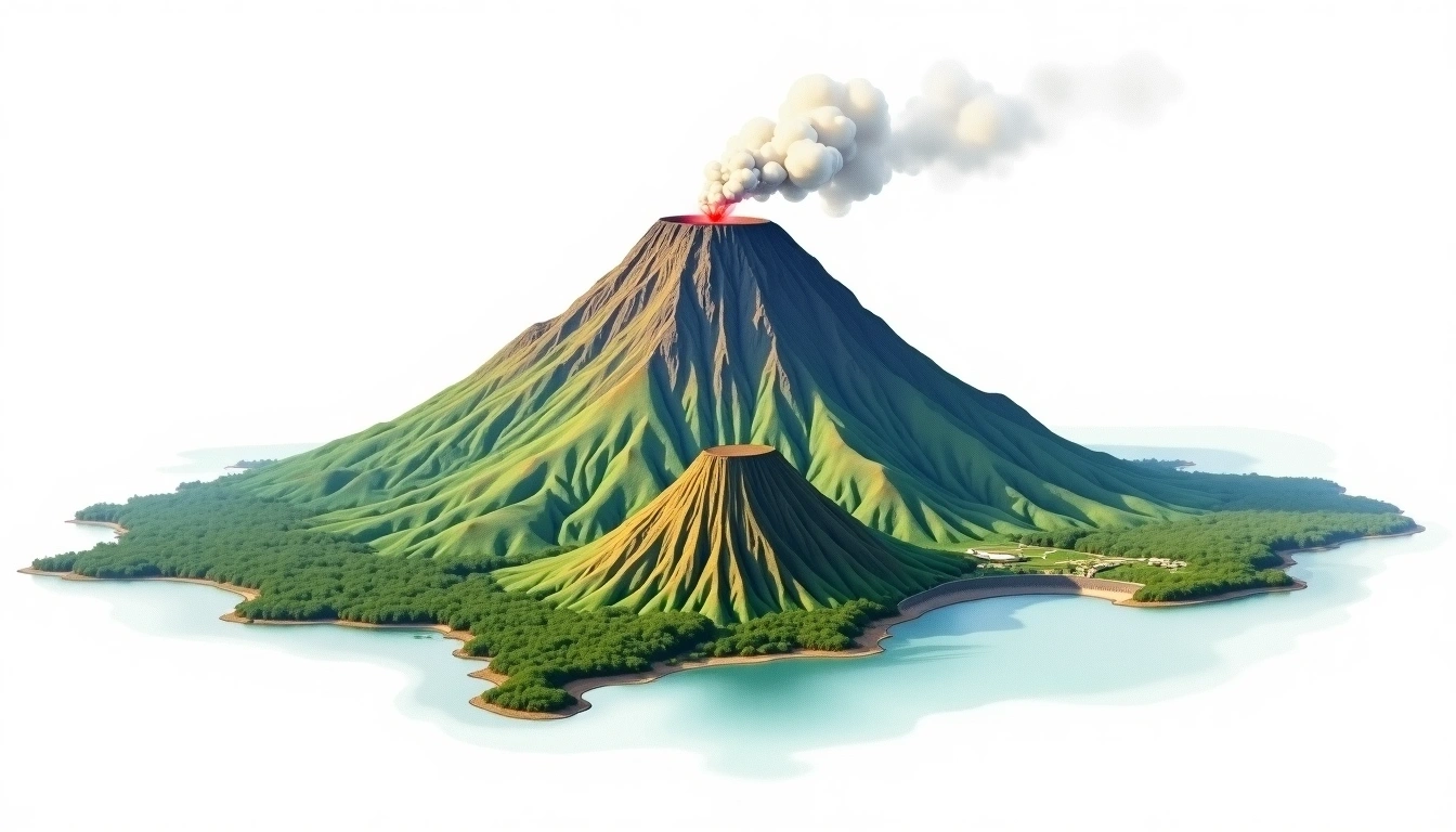
Taal Volcano (311m)
Embed This Widget
Add the script tag and a data attribute to embed this widget.
Embed via iframe for maximum compatibility.
<iframe src="https://mountainfyi.com/iframe/entity//" width="420" height="400" frameborder="0" style="border:0;border-radius:10px;max-width:100%" loading="lazy"></iframe>Paste this URL in WordPress, Medium, or any oEmbed-compatible platform.
https://mountainfyi.com/entity//Add a dynamic SVG badge to your README or docs.
[](https://mountainfyi.com/entity//)Use the native HTML custom element.
Taal Volcano位于Philippines,海拔311米, Asia. 该山峰被归类为Caldera。
海拔对比
关于这座山
Taal Volcano (311m) is a peak in Philippines, Philippines. Grade 1/5: accessible hike with popular trails suitable for beginners. A distinctive summit within its local topography. Clear trails and gentle slopes attract hikers of all experience levels.
路线
季节山况
地形分析
等高线地图

The topographic contour map of Taal Volcano (311m) shows near-circular contours that open inward, revealing the collapsed crater basin. Contour lines are drawn at 10m intervals, with index contours (thicker lines) every 50m. The hypsometric color scale ranges from green (lower elevations) through yellow and orange to white (highest elevations near the 311m summit).
海拔剖面

The east–west elevation profile of Taal Volcano (311m) shows the terrain cross-section through the summit at 311m. The color gradient transitions from green (valley floor) to white (summit zone), with the red summit marker indicating the peak.