Kangchenjunga (8586m)
5Kangchenjunga位于Nepal,海拔8586米, 属于Himalayas, Asia. 该山峰被归类为Fold Mountain。
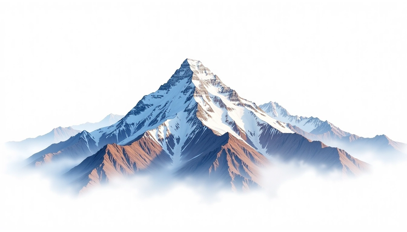
Kangchenjunga ranks as the third-highest mountain on Earth at 8,586 metres, rising along the border between eastern Nepal and the Indian state of Sikkim. Its name, from Tibetan, refers to five great snow repositories, matching the massif's five distinct high summits. A Himalayan fold peak, it was long held sacred by surrounding communities, and by tradition early climbers stopped a short distance below the true top out of respect. The difficulty is rated grade 5, an extreme undertaking where supplemental oxygen is the norm. Fewer parties attempt it than the more accessible eight-thousanders, leaving its glaciated approaches comparatively quiet and its slopes among the least crowded of the highest peaks.
On this page
海拔对比
关于这座山
Kangchenjunga (8586m) is a fold mountain in the Himalayas, Nepal. Grade 5/5: extreme expedition where supplemental oxygen is typically required. Third highest in the world, it straddles the Nepal-India border and sees fewer climbers than Everest.
路线
季节山况
地形分析
等高线地图
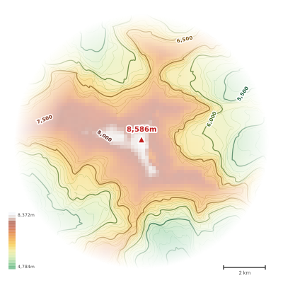
The topographic contour map of Kangchenjunga (8586m) in the Himalayas shows elongated parallel contours following the ridge axis. Contour lines are drawn at 200m intervals, with index contours (thicker lines) every 1000m. The hypsometric color scale ranges from green (lower elevations) through yellow and orange to white (highest elevations near the 8,586m summit). Above 4,500m, the estimated snow line at this latitude, contours transition to cooler tones indicating permanent snow and ice.
海拔剖面
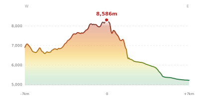
The east–west elevation profile of Kangchenjunga (8586m) in the Himalayas shows the terrain cross-section through the summit at 8,586m. The color gradient transitions from green (valley floor) to white (summit zone), with the red summit marker indicating the peak. The dashed blue snow line at 4,500m marks the approximate elevation above which permanent snow persists year-round.