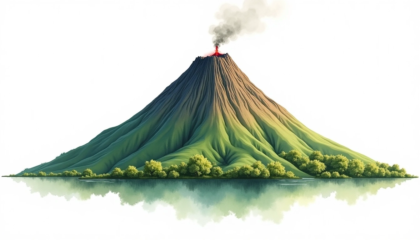
Mount Prahu (2565m)
Embed This Widget
Add the script tag and a data attribute to embed this widget.
Embed via iframe for maximum compatibility.
<iframe src="https://mountainfyi.com/iframe/entity//" width="420" height="400" frameborder="0" style="border:0;border-radius:10px;max-width:100%" loading="lazy"></iframe>Paste this URL in WordPress, Medium, or any oEmbed-compatible platform.
https://mountainfyi.com/entity//Add a dynamic SVG badge to your README or docs.
[](https://mountainfyi.com/entity//)Use the native HTML custom element.
Mount Prahu, Indonesia'da 2565 metre yüksekliğe sahiptir, Asia. Bu zirve Stratovolcano olarak sınıflandırılır.
Yükselti Karşılaştırması
Bu dağ hakkında
Mount Prahu (2565m) is a stratovolcano in Indonesia, Indonesia. Grade 1/5: accessible hike with popular trails suitable for beginners. This stratovolcano rises steeply from the surrounding terrain with a classic conical profile. Clear trails and gentle slopes attract hikers of all experience levels.
Mevsimsel Koşullar
Topografik analiz
Kontur haritası

The topographic contour map of Mount Prahu (2565m) shows near-circular, closely spaced contours indicating steep conical slopes. Contour lines are drawn at 50m intervals, with index contours (thicker lines) every 250m. The hypsometric color scale ranges from green (lower elevations) through yellow and orange to white (highest elevations near the 2,565m summit).
Yükseklik profili

The east–west elevation profile of Mount Prahu (2565m) shows the terrain cross-section through the summit at 2,565m. The color gradient transitions from green (valley floor) to white (summit zone), with the red summit marker indicating the peak.