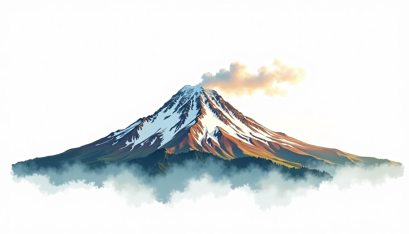
Mount Baker (3286m)
Embed This Widget
Add the script tag and a data attribute to embed this widget.
Embed via iframe for maximum compatibility.
<iframe src="https://mountainfyi.com/iframe/entity//" width="420" height="400" frameborder="0" style="border:0;border-radius:10px;max-width:100%" loading="lazy"></iframe>Paste this URL in WordPress, Medium, or any oEmbed-compatible platform.
https://mountainfyi.com/entity//Add a dynamic SVG badge to your README or docs.
[](https://mountainfyi.com/entity//)Use the native HTML custom element.
Mount Baker, United States'da 3286 metre yüksekliğe sahiptir, Cascade Range'ın bir parçası, North America. Bu zirve Stratovolcano olarak sınıflandırılır.
Yükselti Karşılaştırması
Bu dağ hakkında
Mount Baker (3286m) is a stratovolcano in the Cascade Range, United States. Grade 3/5: strenuous climb with technical sections demanding experience. This stratovolcano rises steeply from the surrounding terrain with a classic conical profile.
Güzergahlar
Mevsimsel Koşullar
Topografik analiz
Kontur haritası

The topographic contour map of Mount Baker (3286m) in the Cascade Range shows near-circular, closely spaced contours indicating steep conical slopes. Contour lines are drawn at 50m intervals, with index contours (thicker lines) every 250m. The hypsometric color scale ranges from green (lower elevations) through yellow and orange to white (highest elevations near the 3,286m summit). Above 3,200m, the estimated snow line at this latitude, contours transition to cooler tones indicating permanent snow and ice.
Yükseklik profili

The east–west elevation profile of Mount Baker (3286m) in the Cascade Range shows the terrain cross-section through the summit at 3,286m. The color gradient transitions from green (valley floor) to white (summit zone), with the red summit marker indicating the peak. The dashed blue snow line at 3,200m marks the approximate elevation above which permanent snow persists year-round.