Kanjut Sar (7760m)
5Kanjut Sar, Pakistan'da 7760 metre yüksekliğe sahiptir, Karakoram'ın bir parçası, Asia. Bu zirve Fold Mountain olarak sınıflandırılır.
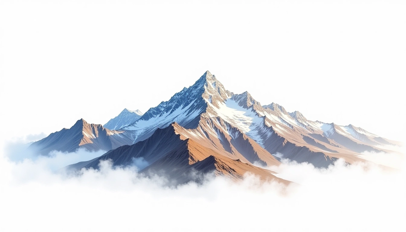
Above the great Hispar Glacier of the Karakoram in northern Pakistan, Kanjut Sar reaches 7,760 metres, one of the higher summits of the Hispar Muztagh alongside Distaghil Sar and Kunyang Chhish. First climbed in 1959, it remains little known beyond mountaineering circles despite its rank among the range's major peaks. It is a fold mountain, uplifted by the collision of the Indian subcontinent with Asia. The site assigns it grade 5, its most demanding rating, in keeping with a remote and committing high-altitude ascent. Successful climbs are rare and separated by long intervals of quiet on the mountain.
On this page
Yükselti Karşılaştırması
Bu dağ hakkında
Kanjut Sar (7760m) is a fold mountain in the Karakoram, Pakistan. Grade 5/5: extreme expedition where supplemental oxygen is typically required. Formed by tectonic compression, it displays layered rock strata typical of fold ranges.
Güzergahlar
Mevsimsel Koşullar
Topografik analiz
Kontur haritası
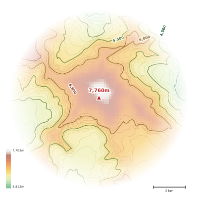
The topographic contour map of Kanjut Sar (7760m) in the Karakoram shows elongated parallel contours following the ridge axis. Contour lines are drawn at 100m intervals, with index contours (thicker lines) every 500m. The hypsometric color scale ranges from green (lower elevations) through yellow and orange to white (highest elevations near the 7,760m summit). Above 3,800m, the estimated snow line at this latitude, contours transition to cooler tones indicating permanent snow and ice.
Yükseklik profili
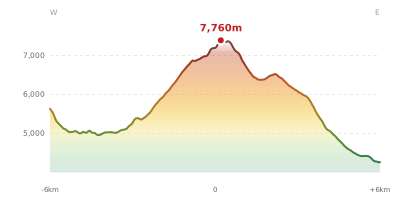
The east–west elevation profile of Kanjut Sar (7760m) in the Karakoram shows the terrain cross-section through the summit at 7,760m. The color gradient transitions from green (valley floor) to white (summit zone), with the red summit marker indicating the peak. The dashed blue snow line at 3,800m marks the approximate elevation above which permanent snow persists year-round.