Gasherbrum III (7952m)
5Gasherbrum III, Pakistan'da 7952 metre yüksekliğe sahiptir, Karakoram'ın bir parçası, Asia. Bu zirve Fold Mountain olarak sınıflandırılır.
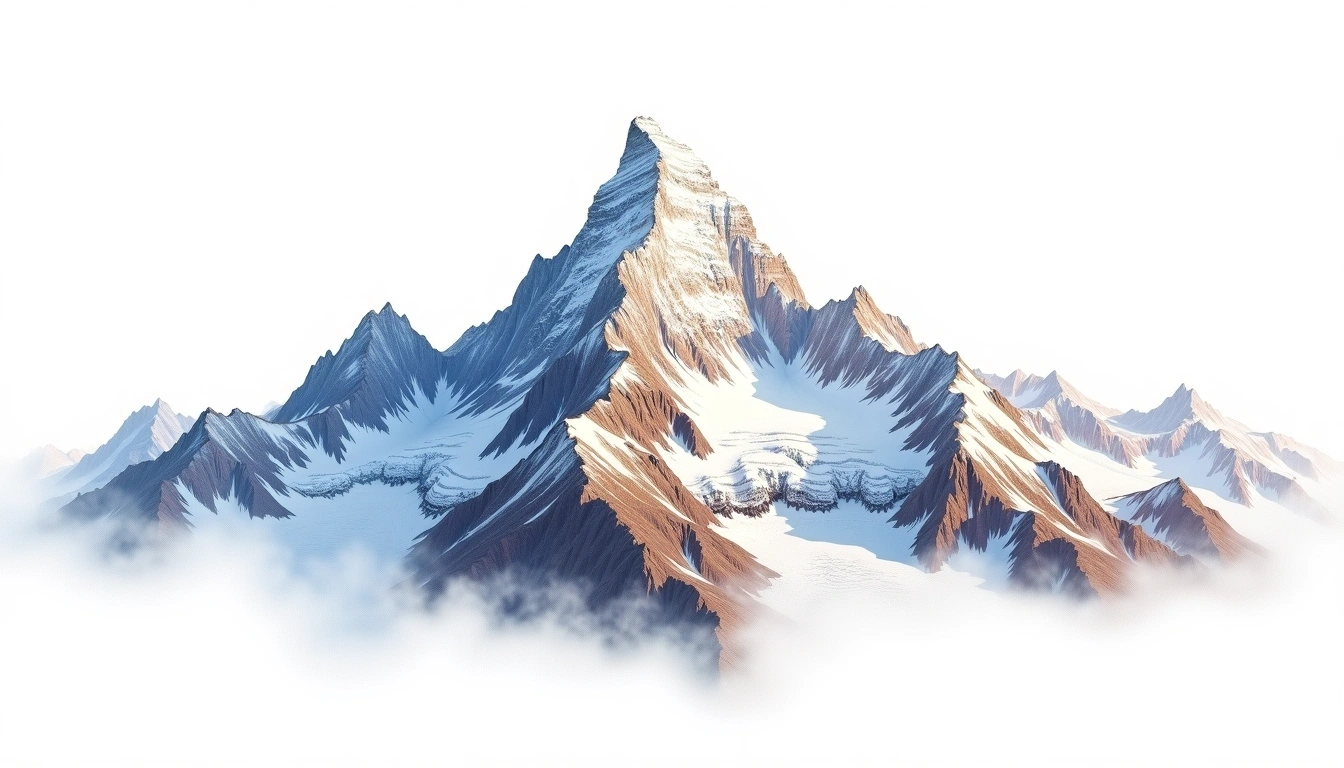
Gasherbrum III rises to 7,952 metres in the Karakoram of Pakistan, ranking among the highest mountains on Earth that fall just short of the 8,000-metre mark. Part of the Gasherbrum group clustered around the upper Baltoro Glacier, it long counted as one of the highest unclimbed summits in the world before it was finally ascended in 1975. It is a fold mountain of the Karakoram, and its proximity to Gasherbrum I and II means it is usually viewed from expeditions to those larger neighbours rather than climbed for its own sake. The site rates it grade 5, an extreme undertaking, and successful ascents remain few.
On this page
Yükselti Karşılaştırması
Bu dağ hakkında
Gasherbrum III (7952m) is a fold mountain in the Karakoram, Pakistan. Grade 5/5: extreme expedition where supplemental oxygen is typically required. A high Himalayan peak demanding acclimatization and alpine experience for summit attempts.
Güzergahlar
Mevsimsel Koşullar
Topografik analiz
Kontur haritası
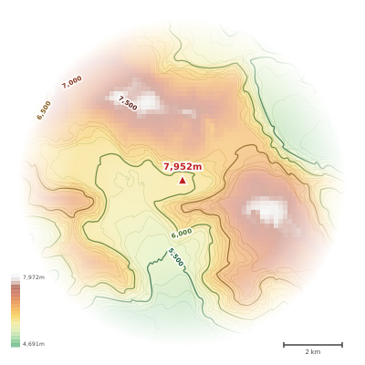
The topographic contour map of Gasherbrum III (7952m) in the Karakoram shows elongated parallel contours following the ridge axis. Contour lines are drawn at 100m intervals, with index contours (thicker lines) every 500m. The hypsometric color scale ranges from green (lower elevations) through yellow and orange to white (highest elevations near the 7,952m summit). Above 3,800m, the estimated snow line at this latitude, contours transition to cooler tones indicating permanent snow and ice.
Yükseklik profili
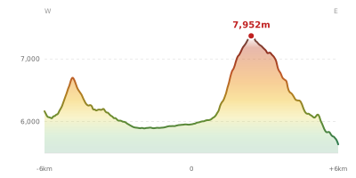
The east–west elevation profile of Gasherbrum III (7952m) in the Karakoram shows the terrain cross-section through the summit at 7,952m. The color gradient transitions from green (valley floor) to white (summit zone), with the red summit marker indicating the peak. The dashed blue snow line at 3,800m marks the approximate elevation above which permanent snow persists year-round.