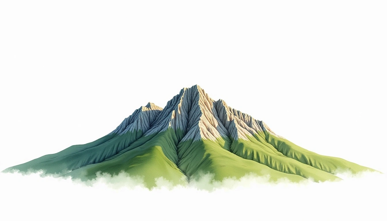
Mount Jacques-Cartier (1268m)
Embed This Widget
Add the script tag and a data attribute to embed this widget.
Embed via iframe for maximum compatibility.
<iframe src="https://mountainfyi.com/iframe/entity//" width="420" height="400" frameborder="0" style="border:0;border-radius:10px;max-width:100%" loading="lazy"></iframe>Paste this URL in WordPress, Medium, or any oEmbed-compatible platform.
https://mountainfyi.com/entity//Add a dynamic SVG badge to your README or docs.
[](https://mountainfyi.com/entity//)Use the native HTML custom element.
Mount Jacques-Cartier находится на высоте 1268 метров в Canada, North America. Эта вершина классифицируется как Fold Mountain.
Сравнение высот
Об этой горе
Mount Jacques-Cartier (1268m) is a fold mountain in Canada. Grade 2/5: moderate trek requiring good fitness. A Canadian summit offering spectacular wilderness scenery and varied terrain across this vast mountain landscape.
Маршруты
Сезонные условия
Топографический анализ
Контурная карта

The topographic contour map of Mount Jacques-Cartier (1268m) shows elongated parallel contours following the ridge axis. Contour lines are drawn at 25m intervals, with index contours (thicker lines) every 100m. The hypsometric color scale ranges from green (lower elevations) through yellow and orange to white (highest elevations near the 1,268m summit).
Высотный профиль

The east–west elevation profile of Mount Jacques-Cartier (1268m) shows the terrain cross-section through the summit at 1,268m. The color gradient transitions from green (valley floor) to white (summit zone), with the red summit marker indicating the peak.