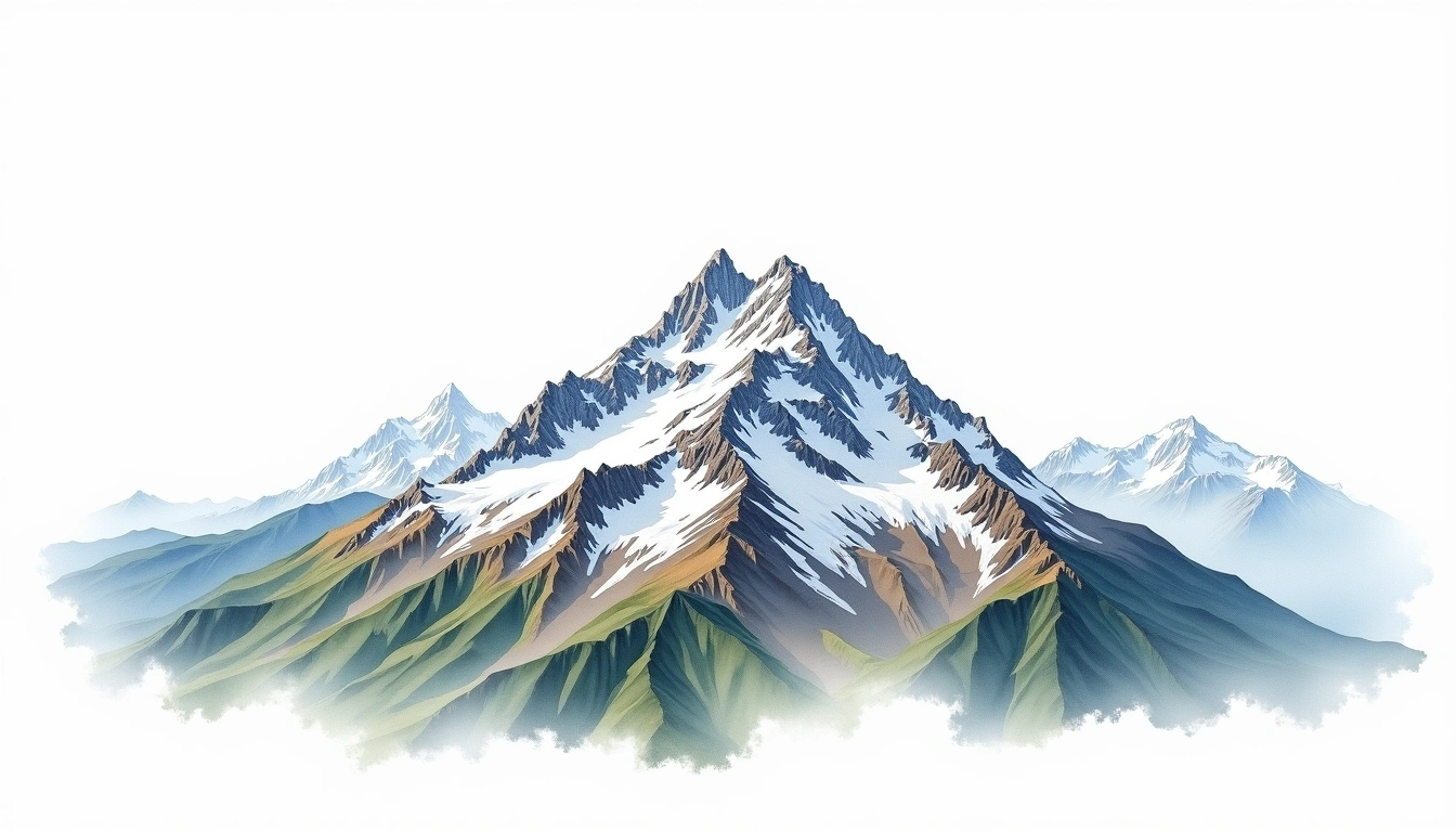
Mount Fairweather (4663m)
Embed This Widget
Add the script tag and a data attribute to embed this widget.
Embed via iframe for maximum compatibility.
<iframe src="https://mountainfyi.com/iframe/entity//" width="420" height="400" frameborder="0" style="border:0;border-radius:10px;max-width:100%" loading="lazy"></iframe>Paste this URL in WordPress, Medium, or any oEmbed-compatible platform.
https://mountainfyi.com/entity//Add a dynamic SVG badge to your README or docs.
[](https://mountainfyi.com/entity//)Use the native HTML custom element.
Mount Fairweather находится на высоте 4663 метров в Canada, часть Saint Elias Mountains, North America. Эта вершина классифицируется как Fold Mountain.
Сравнение высот
Об этой горе
Mount Fairweather (4663m) is a fold mountain in the Saint Elias Mountains, Canada. Grade 5/5: extreme expedition where supplemental oxygen is typically required. A Canadian peak in a remote wilderness setting with glaciated terrain demanding technical competence and expedition logistics.
Маршруты
Сезонные условия
Топографический анализ
Контурная карта

The topographic contour map of Mount Fairweather (4663m) in the Saint Elias Mountains shows elongated parallel contours following the ridge axis. Contour lines are drawn at 100m intervals, with index contours (thicker lines) every 500m. The hypsometric color scale ranges from green (lower elevations) through yellow and orange to white (highest elevations near the 4,663m summit). Above 2,500m, the estimated snow line at this latitude, contours transition to cooler tones indicating permanent snow and ice.
Высотный профиль

The east–west elevation profile of Mount Fairweather (4663m) in the Saint Elias Mountains shows the terrain cross-section through the summit at 4,663m. The color gradient transitions from green (valley floor) to white (summit zone), with the red summit marker indicating the peak. The dashed blue snow line at 2,500m marks the approximate elevation above which permanent snow persists year-round.