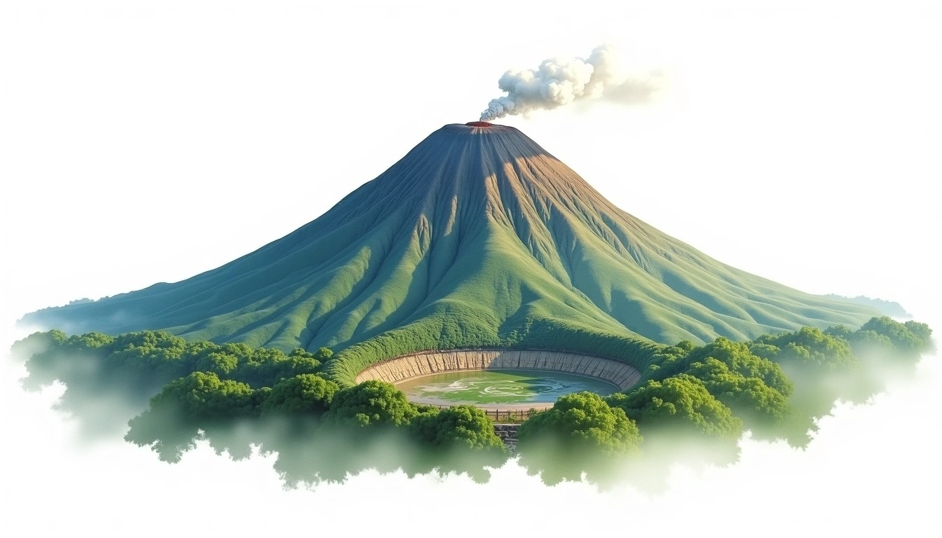
Mount Batur (1717m)
Embed This Widget
Add the script tag and a data attribute to embed this widget.
Embed via iframe for maximum compatibility.
<iframe src="https://mountainfyi.com/iframe/entity//" width="420" height="400" frameborder="0" style="border:0;border-radius:10px;max-width:100%" loading="lazy"></iframe>Paste this URL in WordPress, Medium, or any oEmbed-compatible platform.
https://mountainfyi.com/entity//Add a dynamic SVG badge to your README or docs.
[](https://mountainfyi.com/entity//)Use the native HTML custom element.
Mount Batur находится на высоте 1717 метров в Indonesia, Asia. Эта вершина классифицируется как Caldera.
Сравнение высот
Об этой горе
Mount Batur (1717m) is a caldera in Indonesia. Grade 1/5: accessible hike. A Southeast Asian volcano set amid tropical landscapes, with active geological history and challenging approach terrain.
Маршруты
Сезонные условия
Топографический анализ
Контурная карта

The topographic contour map of Mount Batur (1717m) shows near-circular contours that open inward, revealing the collapsed crater basin. Contour lines are drawn at 50m intervals, with index contours (thicker lines) every 250m. The hypsometric color scale ranges from green (lower elevations) through yellow and orange to white (highest elevations near the 1,717m summit).
Высотный профиль

The east–west elevation profile of Mount Batur (1717m) shows the terrain cross-section through the summit at 1,717m. The color gradient transitions from green (valley floor) to white (summit zone), with the red summit marker indicating the peak.