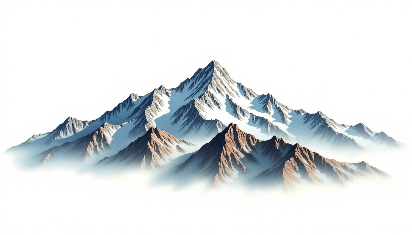
Tochal (3933m)
Embed This Widget
Add the script tag and a data attribute to embed this widget.
Embed via iframe for maximum compatibility.
<iframe src="https://mountainfyi.com/iframe/entity//" width="420" height="400" frameborder="0" style="border:0;border-radius:10px;max-width:100%" loading="lazy"></iframe>Paste this URL in WordPress, Medium, or any oEmbed-compatible platform.
https://mountainfyi.com/entity//Add a dynamic SVG badge to your README or docs.
[](https://mountainfyi.com/entity//)Use the native HTML custom element.
Tochal está a 3933 metros de altitude em Iran, Asia. Este pico é classificado como Fold Mountain.
Comparação de altitudes
Sobre esta montanha
Tochal (3933m) is a fold mountain in Iran. Grade 2/5: moderate trek requiring good fitness. A notable mountain summit offering dramatic scenery and varied climbing terrain for those with alpine experience.
Rotas
Condições sazonais
Análise topográfica
Mapa de contorno

The topographic contour map of Tochal (3933m) shows elongated parallel contours following the ridge axis. Contour lines are drawn at 100m intervals, with index contours (thicker lines) every 500m. The hypsometric color scale ranges from green (lower elevations) through yellow and orange to white (highest elevations near the 3,933m summit). Above 3,800m, the estimated snow line at this latitude, contours transition to cooler tones indicating permanent snow and ice.
Perfil de elevação

The east–west elevation profile of Tochal (3933m) shows the terrain cross-section through the summit at 3,933m. The color gradient transitions from green (valley floor) to white (summit zone), with the red summit marker indicating the peak. The dashed blue snow line at 3,800m marks the approximate elevation above which permanent snow persists year-round.