Mount Lamington (1680m)
Embed This Widget
Add the script tag and a data attribute to embed this widget.
Embed via iframe for maximum compatibility.
<iframe src="https://mountainfyi.com/iframe/entity//" width="420" height="400" frameborder="0" style="border:0;border-radius:10px;max-width:100%" loading="lazy"></iframe>Paste this URL in WordPress, Medium, or any oEmbed-compatible platform.
https://mountainfyi.com/entity//Add a dynamic SVG badge to your README or docs.
[](https://mountainfyi.com/entity//)Use the native HTML custom element.
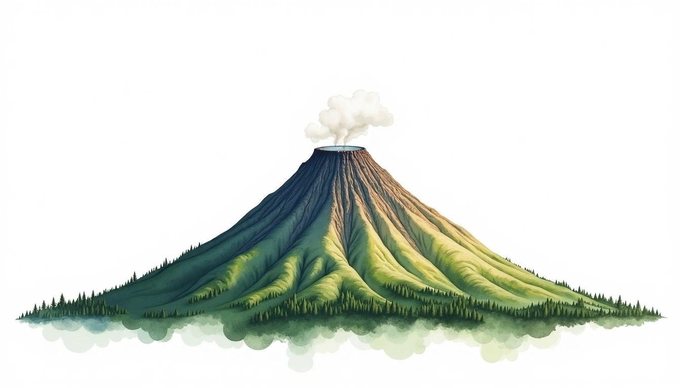
Mount Lamington está a 1680 metros de altitude em Papua New Guinea, parte de Owen Stanley Range, Oceania. Este pico é classificado como Stratovolcano.
Comparação de altitudes
Sobre esta montanha
Mount Lamington (1680m) is a stratovolcano in the Owen Stanley Range, Papua New Guinea. Grade 3/5: strenuous climb with technical sections. A remote Pacific peak rising through dense tropical forest into alpine zones, with challenging access and dramatic relief.
Rotas
Condições sazonais
Análise topográfica
Mapa de contorno

The topographic contour map of Mount Lamington (1680m) in the Owen Stanley Range shows near-circular, closely spaced contours indicating steep conical slopes. Contour lines are drawn at 50m intervals, with index contours (thicker lines) every 250m. The hypsometric color scale ranges from green (lower elevations) through yellow and orange to white (highest elevations near the 1,680m summit).
Perfil de elevação

The east–west elevation profile of Mount Lamington (1680m) in the Owen Stanley Range shows the terrain cross-section through the summit at 1,680m. The color gradient transitions from green (valley floor) to white (summit zone), with the red summit marker indicating the peak.