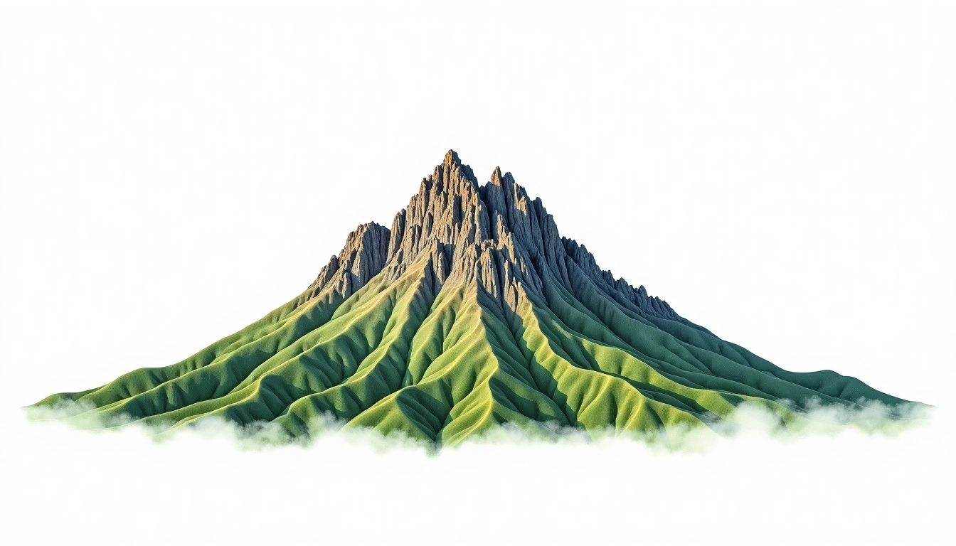
La Grande Soufriere (Guadeloupe) (1467m)
Embed This Widget
Add the script tag and a data attribute to embed this widget.
Embed via iframe for maximum compatibility.
<iframe src="https://mountainfyi.com/iframe/entity//" width="420" height="400" frameborder="0" style="border:0;border-radius:10px;max-width:100%" loading="lazy"></iframe>Paste this URL in WordPress, Medium, or any oEmbed-compatible platform.
https://mountainfyi.com/entity//Add a dynamic SVG badge to your README or docs.
[](https://mountainfyi.com/entity//)Use the native HTML custom element.
La Grande Soufriere (Guadeloupe) está a 1467 metros de altitude em Guadeloupe, North America. Este pico é classificado como volcanic.
Comparação de altitudes
Sobre esta montanha
La Grande Soufriere (Guadeloupe) (1467m) is a volcanic peak in Guadeloupe. Grade 2/5: moderate trek requiring good fitness. A regional summit offering rewarding walks through varied landscapes with notable views from the top.
Rotas
Condições sazonais
Análise topográfica
Mapa de contorno

The topographic contour map of La Grande Soufriere (Guadeloupe) (1467m) shows contours reflecting the unique geological character of the terrain. Contour lines are drawn at 50m intervals, with index contours (thicker lines) every 250m. The hypsometric color scale ranges from green (lower elevations) through yellow and orange to white (highest elevations near the 1,467m summit).
Perfil de elevação

The east–west elevation profile of La Grande Soufriere (Guadeloupe) (1467m) shows the terrain cross-section through the summit at 1,467m. The color gradient transitions from green (valley floor) to white (summit zone), with the red summit marker indicating the peak.