Himalchuli (7893m)
5Himalchuli está a 7893 metros de altitude em Nepal, parte de Himalayas, Asia. Este pico é classificado como Fold Mountain.
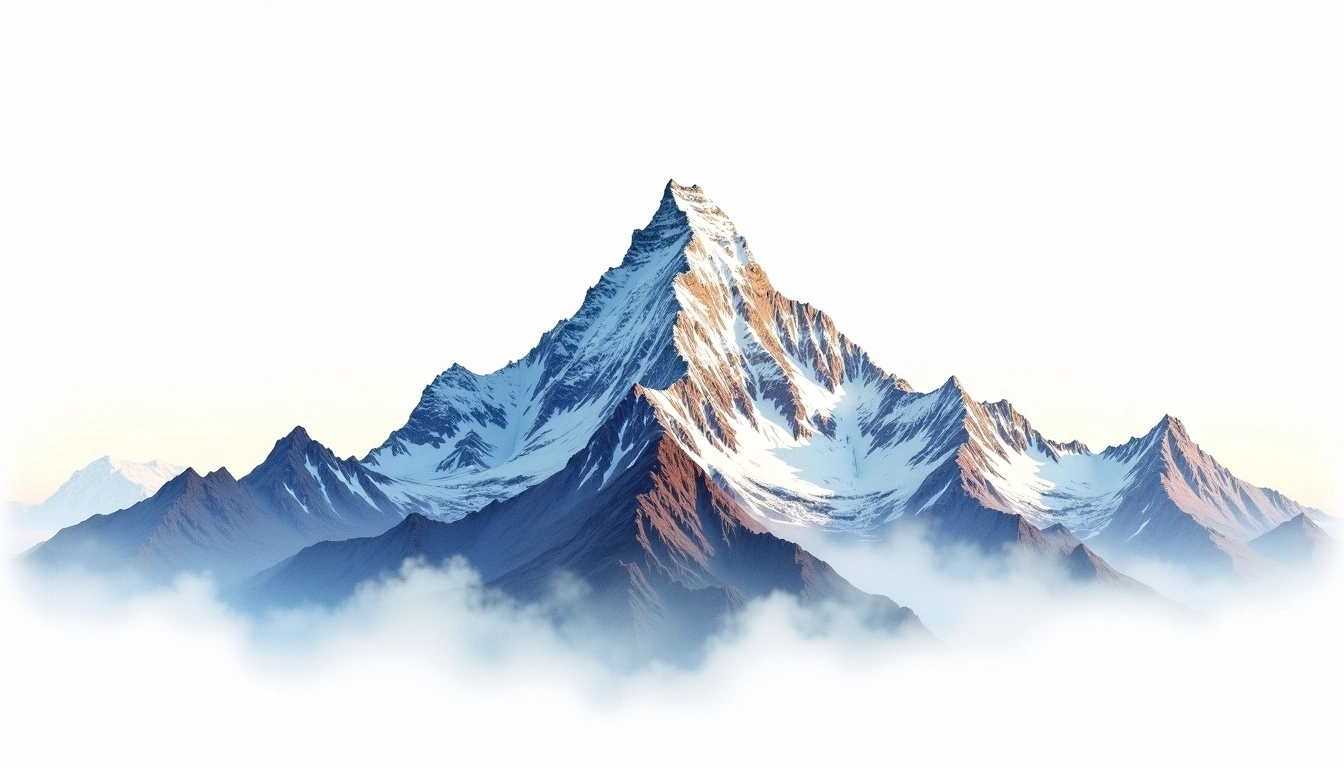
Himalchuli is the second-highest peak of the Mansiri Himal in west-central Nepal, rising to 7,893 metres just south of its loftier neighbour Manaslu. Its three principal summits stand above steep, heavily glaciated faces that shed frequent avalanches, giving the mountain a reputation for serious, committing climbing. It is a Himalayan fold peak, first ascended in 1960. The site rates it grade 5, an extreme classification that usually demands supplemental oxygen. Though it stands among the twenty highest mountains on Earth, it draws few attempts, kept quiet by its difficulty and by the shadow of the far more famous Manaslu close at hand.
On this page
Comparação de altitudes
Sobre esta montanha
Himalchuli (7893m) is a fold mountain in the Himalayas, Nepal. Grade 5/5: extreme expedition where supplemental oxygen is typically required. Formed by tectonic compression, it displays layered rock strata typical of fold ranges.
Rotas
Condições sazonais
Análise topográfica
Mapa de contorno
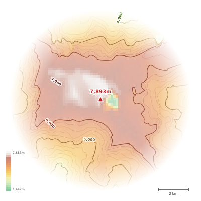
The topographic contour map of Himalchuli (7893m) in the Himalayas shows elongated parallel contours following the ridge axis. Contour lines are drawn at 100m intervals, with index contours (thicker lines) every 500m. The hypsometric color scale ranges from green (lower elevations) through yellow and orange to white (highest elevations near the 7,893m summit). Above 4,500m, the estimated snow line at this latitude, contours transition to cooler tones indicating permanent snow and ice.
Perfil de elevação
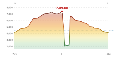
The east–west elevation profile of Himalchuli (7893m) in the Himalayas shows the terrain cross-section through the summit at 7,893m. The color gradient transitions from green (valley floor) to white (summit zone), with the red summit marker indicating the peak. The dashed blue snow line at 4,500m marks the approximate elevation above which permanent snow persists year-round.