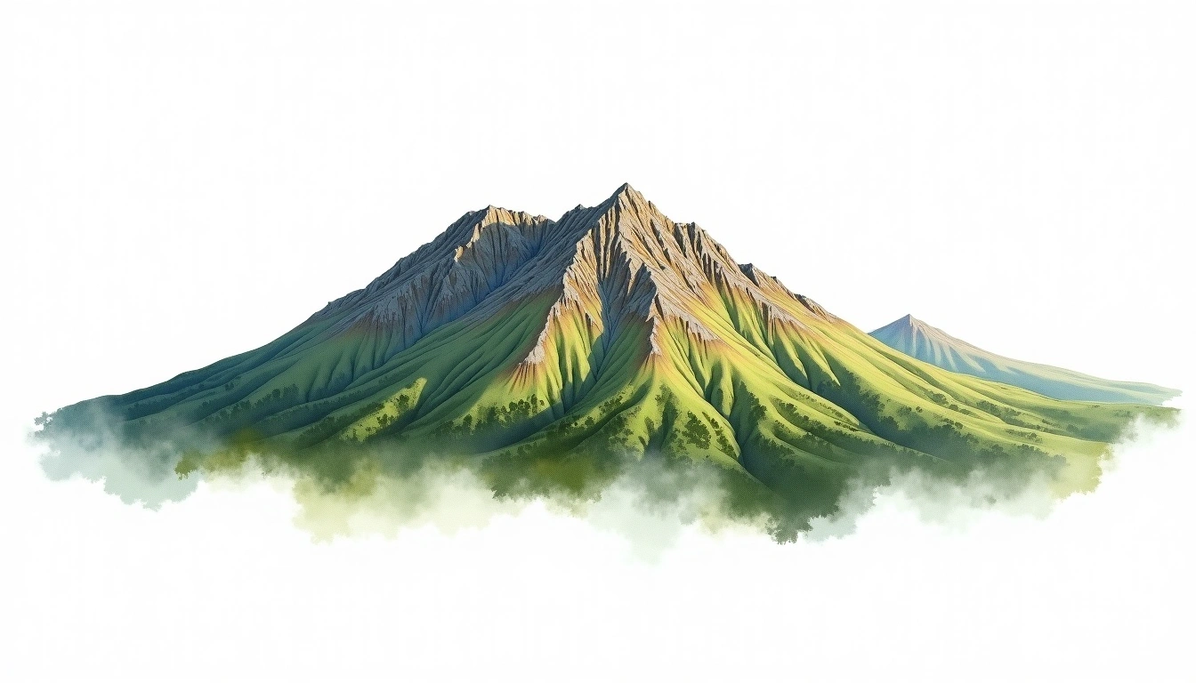
Mount Buller (1804m)
Embed This Widget
Add the script tag and a data attribute to embed this widget.
Embed via iframe for maximum compatibility.
<iframe src="https://mountainfyi.com/iframe/entity//" width="420" height="400" frameborder="0" style="border:0;border-radius:10px;max-width:100%" loading="lazy"></iframe>Paste this URL in WordPress, Medium, or any oEmbed-compatible platform.
https://mountainfyi.com/entity//Add a dynamic SVG badge to your README or docs.
[](https://mountainfyi.com/entity//)Use the native HTML custom element.
Mount BullerはAustraliaに位置し、標高1804 mです, Great Dividing Rangeの一部, Oceania. この山はPlateau Mountainに分類されます。
標高比較
この山について
Mount Buller (1804m) is a plateau mountain in the Great Dividing Range, Australia. Grade 1/5: accessible hike. A regional summit offering rewarding walks through varied landscapes with notable views from the top.
ルート
季節コンディション
地形分析
等高線地図

The topographic contour map of Mount Buller (1804m) in the Great Dividing Range shows dense contours at cliff edges with a flat summit plateau. Contour lines are drawn at 50m intervals, with index contours (thicker lines) every 250m. The hypsometric color scale ranges from green (lower elevations) through yellow and orange to white (highest elevations near the 1,804m summit).
標高プロフィール

The east–west elevation profile of Mount Buller (1804m) in the Great Dividing Range shows the terrain cross-section through the summit at 1,804m. The color gradient transitions from green (valley floor) to white (summit zone), with the red summit marker indicating the peak.