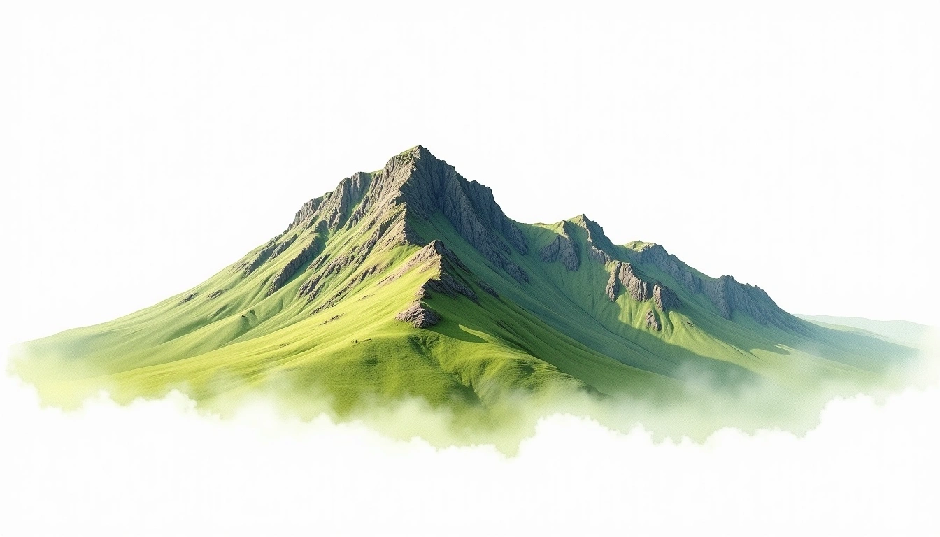
Glyder Fawr (1001m)
Embed This Widget
Add the script tag and a data attribute to embed this widget.
Embed via iframe for maximum compatibility.
<iframe src="https://mountainfyi.com/iframe/entity//" width="420" height="400" frameborder="0" style="border:0;border-radius:10px;max-width:100%" loading="lazy"></iframe>Paste this URL in WordPress, Medium, or any oEmbed-compatible platform.
https://mountainfyi.com/entity//Add a dynamic SVG badge to your README or docs.
[](https://mountainfyi.com/entity//)Use the native HTML custom element.
Glyder FawrはUnited Kingdomに位置し、標高1001 mです, Europe. この山はFold Mountainに分類されます。
標高比較
この山について
Glyder Fawr (1001m) is a fold mountain in United Kingdom, United Kingdom. Grade 2/5: moderate trek requiring good physical fitness. Formed by tectonic compression, it displays layered rock strata typical of fold ranges. Well-marked paths and reasonable gradients make it achievable for fit hikers.
ルート
季節コンディション
地形分析
等高線地図

The topographic contour map of Glyder Fawr (1001m) shows elongated parallel contours following the ridge axis. Contour lines are drawn at 25m intervals, with index contours (thicker lines) every 100m. The hypsometric color scale ranges from green (lower elevations) through yellow and orange to white (highest elevations near the 1,001m summit).
標高プロフィール

The east–west elevation profile of Glyder Fawr (1001m) shows the terrain cross-section through the summit at 1,001m. The color gradient transitions from green (valley floor) to white (summit zone), with the red summit marker indicating the peak.