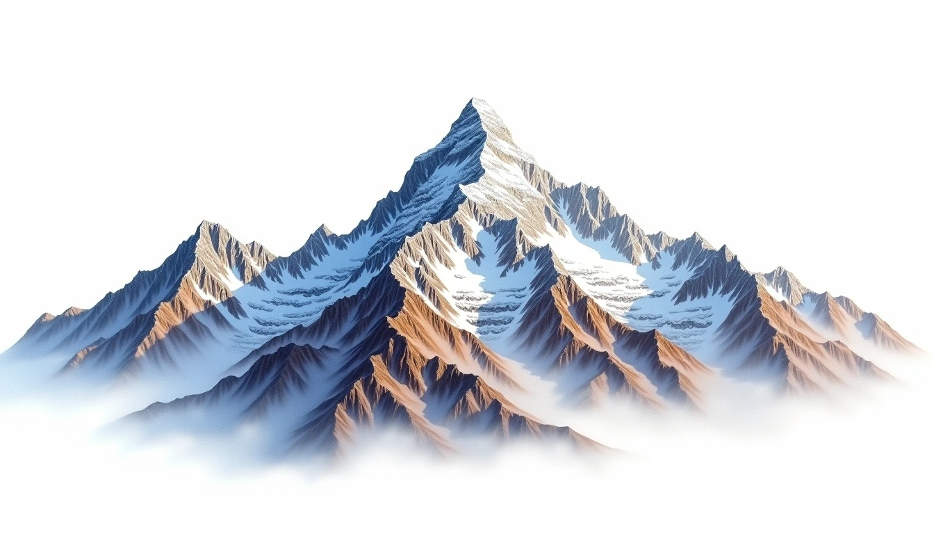
Rolwaling Kang (6664m)
Embed This Widget
Add the script tag and a data attribute to embed this widget.
Embed via iframe for maximum compatibility.
<iframe src="https://mountainfyi.com/iframe/entity//" width="420" height="400" frameborder="0" style="border:0;border-radius:10px;max-width:100%" loading="lazy"></iframe>Paste this URL in WordPress, Medium, or any oEmbed-compatible platform.
https://mountainfyi.com/entity//Add a dynamic SVG badge to your README or docs.
[](https://mountainfyi.com/entity//)Use the native HTML custom element.
يقع Rolwaling Kang على ارتفاع 6664 متر في Nepal, جزء من Himalayas, Asia. تُصنّف هذه القمة على أنها Fold Mountain.
مقارنة الارتفاعات
عن هذا الجبل
Rolwaling Kang (6664m) is a fold mountain in the Himalayas, Nepal. Grade 4/5: technical ascent requiring mountaineering skills. A challenging Himalayan objective offering remote wilderness and high-altitude climbing.
المسارات
الظروف الموسمية
تحليل طبوغرافي
خريطة كنتورية

The topographic contour map of Rolwaling Kang (6664m) in the Himalayas shows elongated parallel contours following the ridge axis. Contour lines are drawn at 100m intervals, with index contours (thicker lines) every 500m. The hypsometric color scale ranges from green (lower elevations) through yellow and orange to white (highest elevations near the 6,664m summit). Above 4,500m, the estimated snow line at this latitude, contours transition to cooler tones indicating permanent snow and ice.
المخطط الارتفاعي

The east–west elevation profile of Rolwaling Kang (6664m) in the Himalayas shows the terrain cross-section through the summit at 6,664m. The color gradient transitions from green (valley floor) to white (summit zone), with the red summit marker indicating the peak. The dashed blue snow line at 4,500m marks the approximate elevation above which permanent snow persists year-round.