Teide位于Spain,海拔3718米, Europe.
该山峰被归类为Stratovolcano。
海拔
3718 m
相对高度
— m
坐标
28.271700, -16.641700
类型
stratovolcano
On this page
海拔对比
火山
关于这座山
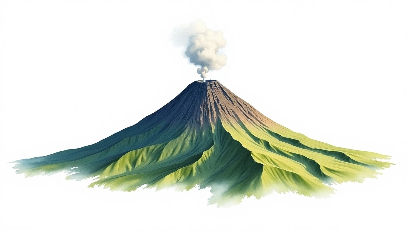
Teide (3718m) is a stratovolcano in Spain. Grade 2/5: moderate trek requiring good fitness. A notable mountain summit offering dramatic scenery and varied climbing terrain for those with alpine experience.
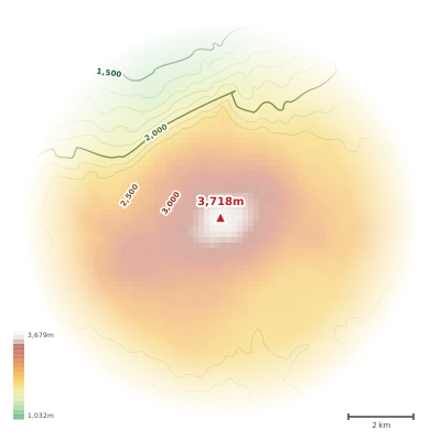
The topographic contour map of Teide (3718m) shows near-circular, closely spaced contours indicating steep conical slopes. Contour lines are drawn at 100m intervals, with index contours (thicker lines) every 500m. The hypsometric color scale ranges from green (lower elevations) through yellow and orange to white (highest elevations near the 3,718m summit).
海拔剖面
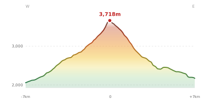
The east–west elevation profile of Teide (3718m) shows the terrain cross-section through the summit at 3,718m. The color gradient transitions from green (valley floor) to white (summit zone), with the red summit marker indicating the peak.
Frequently Asked Questions
The contour map uses a hypsometric color scale where green represents lower elevations, yellow and orange indicate mid-range altitudes, and white marks the highest zones near the summit. Thicker contour lines (index contours) are drawn at wider intervals to help you quickly estimate elevation.
The contour map of Teide (3718m) uses a 100m contour interval. This means each line represents a 100m change in elevation. Closely spaced contours indicate steeper terrain, while widely spaced contours show gentler slopes.
The elevation profile is a cross-section through Teide (3718m) from west to east, passing through the summit at 3,718m. It reveals the mountain's shape, steepness, and relative height compared to the surrounding terrain. The horizontal axis shows distance in kilometers from the peak.
As a stratovolcano, Teide (3718m) was built by alternating layers of lava and ash. The summit crater is visible on the contour map as a small depression within the tightly spaced concentric contours near the peak.