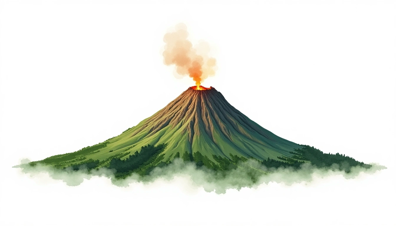
Mount Bagana (1855m)
Embed This Widget
Add the script tag and a data attribute to embed this widget.
Embed via iframe for maximum compatibility.
<iframe src="https://mountainfyi.com/iframe/entity//" width="420" height="400" frameborder="0" style="border:0;border-radius:10px;max-width:100%" loading="lazy"></iframe>Paste this URL in WordPress, Medium, or any oEmbed-compatible platform.
https://mountainfyi.com/entity//Add a dynamic SVG badge to your README or docs.
[](https://mountainfyi.com/entity//)Use the native HTML custom element.
Mount Bagana位于Papua New Guinea,海拔1855米, Oceania. 该山峰被归类为Stratovolcano。
海拔对比
关于这座山
Mount Bagana (1855m) is a stratovolcano in Papua New Guinea. Grade 4/5: technical ascent requiring mountaineering skills. A remote Pacific peak rising through dense tropical forest into alpine zones, with challenging access and dramatic relief.
路线
季节山况
地形分析
等高线地图

The topographic contour map of Mount Bagana (1855m) shows near-circular, closely spaced contours indicating steep conical slopes. Contour lines are drawn at 50m intervals, with index contours (thicker lines) every 250m. The hypsometric color scale ranges from green (lower elevations) through yellow and orange to white (highest elevations near the 1,855m summit).
海拔剖面

The east–west elevation profile of Mount Bagana (1855m) shows the terrain cross-section through the summit at 1,855m. The color gradient transitions from green (valley floor) to white (summit zone), with the red summit marker indicating the peak.