Mont Blanc (4809m)
3Mont Blanc位于France,海拔4809米, 属于Alps, Europe. 该山峰被归类为Fold Mountain。
On this page
海拔对比
关于这座山
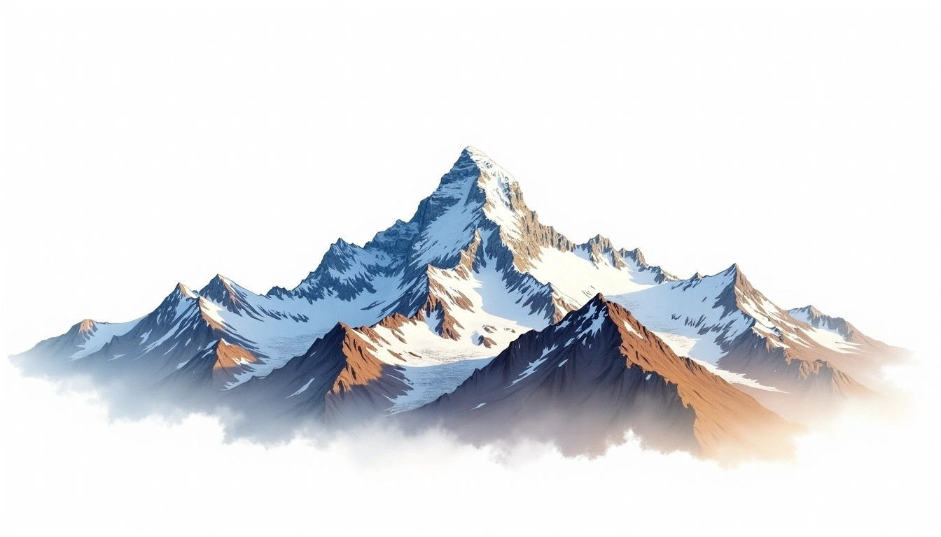
Mont Blanc (4809m) is a fold mountain in the Alps, France. Grade 3/5: strenuous climb with technical sections demanding experience. Formed by tectonic compression, it displays layered rock strata typical of fold ranges. Routes involve exposed ridge sections and require careful route-finding.
路线
季节山况
地形分析
等高线地图
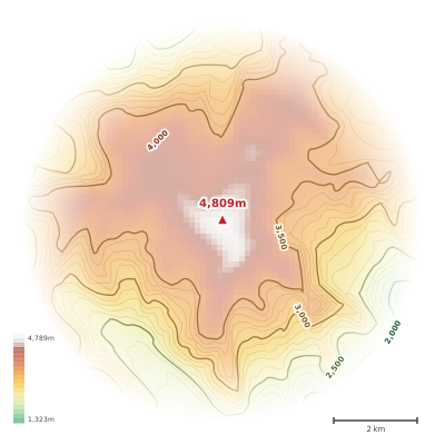
The topographic contour map of Mont Blanc (4809m) in the Alps shows elongated parallel contours following the ridge axis. Contour lines are drawn at 100m intervals, with index contours (thicker lines) every 500m. The hypsometric color scale ranges from green (lower elevations) through yellow and orange to white (highest elevations near the 4,809m summit). Above 3,200m, the estimated snow line at this latitude, contours transition to cooler tones indicating permanent snow and ice.
海拔剖面
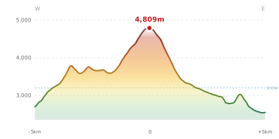
The east–west elevation profile of Mont Blanc (4809m) in the Alps shows the terrain cross-section through the summit at 4,809m. The color gradient transitions from green (valley floor) to white (summit zone), with the red summit marker indicating the peak. The dashed blue snow line at 3,200m marks the approximate elevation above which permanent snow persists year-round.