Hachimantai (1613m)
Embed This Widget
Add the script tag and a data attribute to embed this widget.
Embed via iframe for maximum compatibility.
<iframe src="https://mountainfyi.com/iframe/entity//" width="420" height="400" frameborder="0" style="border:0;border-radius:10px;max-width:100%" loading="lazy"></iframe>Paste this URL in WordPress, Medium, or any oEmbed-compatible platform.
https://mountainfyi.com/entity//Add a dynamic SVG badge to your README or docs.
[](https://mountainfyi.com/entity//)Use the native HTML custom element.
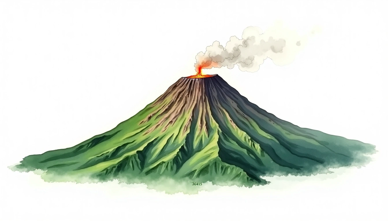
Hachimantai cao 1613 mét tại Japan, Asia. Đỉnh này được phân loại là Shield Volcano.
So sánh độ cao
Về ngọn núi này
Hachimantai (1613m) is a shield volcano in Japan, Japan. Grade 1/5: accessible hike with popular trails suitable for beginners. Its broad shield form reflects effusive volcanic activity over geological time. Clear trails and gentle slopes attract hikers of all experience levels.
Tuyến đường
Điều kiện theo mùa
Phân tích địa hình
Bản đồ đường đồng mức

The topographic contour map of Hachimantai (1613m) shows widely spaced, gently curving contours reflecting broad, low-angle slopes. Contour lines are drawn at 50m intervals, with index contours (thicker lines) every 250m. The hypsometric color scale ranges from green (lower elevations) through yellow and orange to white (highest elevations near the 1,613m summit).
Hồ sơ độ cao

The east–west elevation profile of Hachimantai (1613m) shows the terrain cross-section through the summit at 1,613m. The color gradient transitions from green (valley floor) to white (summit zone), with the red summit marker indicating the peak.