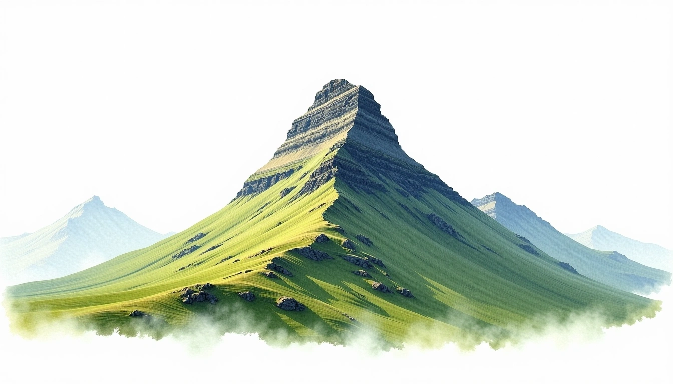
Ben Nevis via Mountain Track (Tourist Path) — July 2021 Summit Report
Embed This Widget
Add the script tag and a data attribute to embed this widget.
Embed via iframe for maximum compatibility.
<iframe src="https://mountainfyi.com/iframe/entity//" width="420" height="400" frameborder="0" style="border:0;border-radius:10px;max-width:100%" loading="lazy"></iframe>Paste this URL in WordPress, Medium, or any oEmbed-compatible platform.
https://mountainfyi.com/entity//Add a dynamic SVG badge to your README or docs.
[](https://mountainfyi.com/entity//)Use the native HTML custom element.
Koşullar
- Hava Durumu
- Overcast with intermittent drizzle below 1,000m. Surprisingly clear at summit, 6°C with a moderate westerly wind.
- Kar
- Patchy old snow on the north-facing gullies near the summit plateau.
- Sıcaklık
- 6°C to 14°C (summit to glen)
- Rüzgar
- Moderate westerly 25–35 km/h on summit plateau
Yükseklik profili
Dağı görüntüle →
Ben Nevis via Mountain Track (Tourist Path) — July 2021 Summit Report
Ben Nevis via the Mountain Track is Britain's most popular mountain day out, and for good reason. We climbed through low cloud and intermittent drizzle — classic Fort William weather — only for the summit plateau to emerge into glorious sunshine above the cloud inversion. The ruins of the old observatory, the emergency shelter, and the trig point were all dusted with old snow in July. The views north toward the Cairngorms emerged briefly between cloud breaks. A proper Scottish mountain day: demanding, unpredictable, and deeply satisfying.
Trip Overview
Mountain: Ben Nevis (1345m) Date: July 17, 2021 Duration: 1 days Party Size: 4 Outcome: Summit
Conditions
Weather: Overcast with intermittent drizzle below 1,000m. Surprisingly clear at summit, 6°C with a moderate westerly wind. Snow: Patchy old snow on the north-facing gullies near the summit plateau. Temperature: 6°C to 14°C (summit to glen) Wind: Moderate westerly 25–35 km/h on summit plateau
Difficulty Assessment
The Mountain Track is well-maintained and non-technical, but Britain's highest peak has serious navigation risks in poor visibility — the summit plateau is broad and featureless in cloud. Five Points of Navigation from the summit trig point is essential knowledge. The long out-and-back (17 km, 1,350m gain) demands solid base fitness.