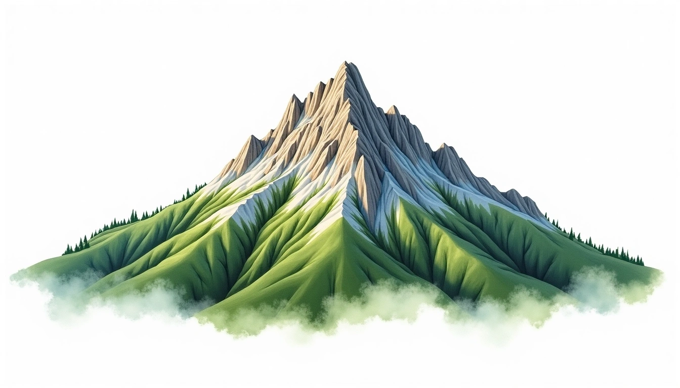
Babia Gora (1725m)
Embed This Widget
Add the script tag and a data attribute to embed this widget.
Embed via iframe for maximum compatibility.
<iframe src="https://mountainfyi.com/iframe/entity//" width="420" height="400" frameborder="0" style="border:0;border-radius:10px;max-width:100%" loading="lazy"></iframe>Paste this URL in WordPress, Medium, or any oEmbed-compatible platform.
https://mountainfyi.com/entity//Add a dynamic SVG badge to your README or docs.
[](https://mountainfyi.com/entity//)Use the native HTML custom element.
Babia Gora, Poland'da 1725 metre yüksekliğe sahiptir, Carpathians'ın bir parçası, Europe. Bu zirve Fold Mountain olarak sınıflandırılır.
Yükselti Karşılaştırması
Bu dağ hakkında
Babia Gora (1725m) is a fold mountain in the Carpathians, Poland. Grade 1/5: accessible hike. A regional summit offering rewarding walks through varied landscapes with notable views from the top.
Güzergahlar
Mevsimsel Koşullar
Topografik analiz
Kontur haritası

The topographic contour map of Babia Gora (1725m) in the Carpathians shows elongated parallel contours following the ridge axis. Contour lines are drawn at 50m intervals, with index contours (thicker lines) every 250m. The hypsometric color scale ranges from green (lower elevations) through yellow and orange to white (highest elevations near the 1,725m summit).
Yükseklik profili

The east–west elevation profile of Babia Gora (1725m) in the Carpathians shows the terrain cross-section through the summit at 1,725m. The color gradient transitions from green (valley floor) to white (summit zone), with the red summit marker indicating the peak.