Makalu (8485m)
5Makalu находится на высоте 8485 метров в Nepal, часть Himalayas, Asia. Эта вершина классифицируется как Fold Mountain.
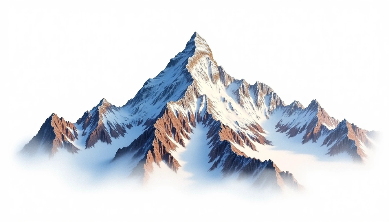
Makalu is the fifth-highest mountain on Earth, standing at 8,485 metres in the Mahalangur Himalaya astride the Nepal–Tibet border. Its isolated four-sided pyramid, capped by sharp ridges, gives it one of the most recognisable outlines in the range and makes for exposed, technical climbing near the top. Geologically it is a fold mountain, thrust up by the ongoing convergence of the Indian and Eurasian plates. Rated grade 5 by the site, it demands a full expedition with supplemental oxygen and sees relatively few ascents. The final summit pyramid, with its steep rock and ice, is regarded as one of the harder finishes among the eight-thousanders.
On this page
Сравнение высот
Об этой горе
Makalu (8485m) is a fold mountain in the Himalayas, Nepal. Grade 5/5: extreme expedition where supplemental oxygen is typically required. The fifth highest peak globally, it lies in the Mahalangur Himalaya along the Nepal-Tibet border.
Маршруты
Сезонные условия
Топографический анализ
Контурная карта
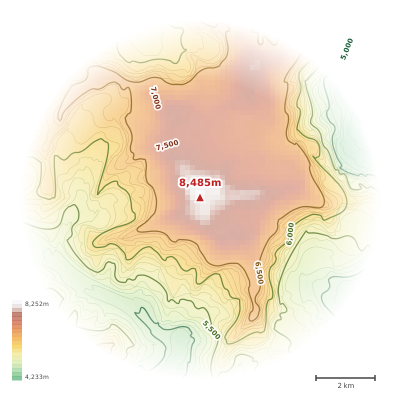
The topographic contour map of Makalu (8485m) in the Himalayas shows elongated parallel contours following the ridge axis. Contour lines are drawn at 200m intervals, with index contours (thicker lines) every 1000m. The hypsometric color scale ranges from green (lower elevations) through yellow and orange to white (highest elevations near the 8,485m summit). Above 4,500m, the estimated snow line at this latitude, contours transition to cooler tones indicating permanent snow and ice.
Высотный профиль
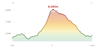
The east–west elevation profile of Makalu (8485m) in the Himalayas shows the terrain cross-section through the summit at 8,485m. The color gradient transitions from green (valley floor) to white (summit zone), with the red summit marker indicating the peak. The dashed blue snow line at 4,500m marks the approximate elevation above which permanent snow persists year-round.