K2 (8611m)
5K2 находится на высоте 8611 метров в Pakistan, часть Karakoram, Asia. Эта вершина классифицируется как Fold Mountain.
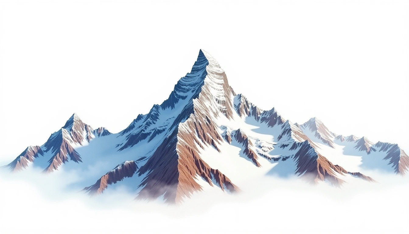
At 8,611 metres, K2 is the second-highest mountain in the world and the culminating point of the Karakoram range in Pakistan. Nicknamed the Savage Mountain, it carries one of the highest fatality-to-summit ratios among the eight-thousanders, a reputation earned by steep pitches, sudden storms, and objective hazard on every established line. It is a fold mountain formed as the Indian subcontinent drove beneath Asia. The site rates it grade 5, its most severe classification, reflecting an expedition on which bottled oxygen is usually carried and no route offers an easy descent. It sees only a small fraction of Everest's traffic and had no successful winter ascent for decades after the other giants.
On this page
Сравнение высот
Об этой горе
K2 (8611m) is a fold mountain in the Karakoram, Pakistan. Grade 5/5: extreme expedition where supplemental oxygen is typically required. Known as the "Savage Mountain," it has one of the highest fatality-to-summit ratios of any 8000er.
Маршруты
Сезонные условия
Топографический анализ
Контурная карта
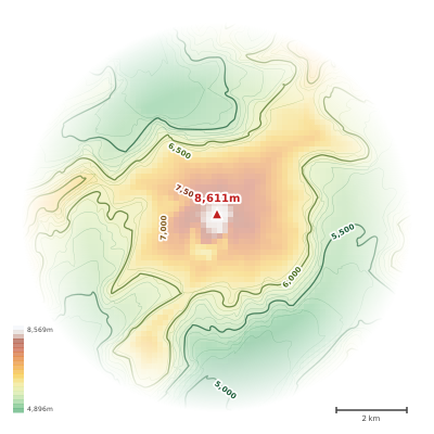
The topographic contour map of K2 (8611m) in the Karakoram shows elongated parallel contours following the ridge axis. Contour lines are drawn at 200m intervals, with index contours (thicker lines) every 1000m. The hypsometric color scale ranges from green (lower elevations) through yellow and orange to white (highest elevations near the 8,611m summit). Above 3,800m, the estimated snow line at this latitude, contours transition to cooler tones indicating permanent snow and ice.
Высотный профиль
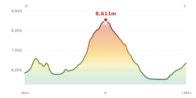
The east–west elevation profile of K2 (8611m) in the Karakoram shows the terrain cross-section through the summit at 8,611m. The color gradient transitions from green (valley floor) to white (summit zone), with the red summit marker indicating the peak. The dashed blue snow line at 3,800m marks the approximate elevation above which permanent snow persists year-round.