Distaghil Sar (7885m)
5Distaghil Sar находится на высоте 7885 метров в Pakistan, часть Karakoram, Asia. Эта вершина классифицируется как Fold Mountain.
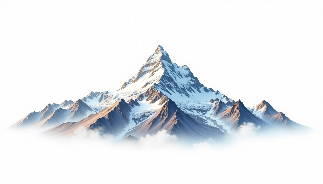
Distaghil Sar is the highest mountain of the Hispar Muztagh, a subrange of the Karakoram in northern Pakistan, and reaches 7,885 metres along a lengthy summit ridge carrying several tops. It ranks among the twenty tallest peaks in the world, yet its remoteness above the Hispar and Kunyang glaciers keeps it far from the well-trodden expedition routes. A Karakoram fold mountain, it was first climbed in 1960. The site classifies it grade 5, its most severe tier, reflecting the sustained commitment of a high, isolated ascent. Attempts are infrequent, and the peak sees long gaps between successful climbs.
On this page
Сравнение высот
Об этой горе
Distaghil Sar (7885m) is a fold mountain in the Karakoram, Pakistan. Grade 5/5: extreme expedition where supplemental oxygen is typically required. Formed by tectonic compression, it displays layered rock strata typical of fold ranges.
Маршруты
Сезонные условия
Топографический анализ
Контурная карта
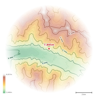
The topographic contour map of Distaghil Sar (7885m) in the Karakoram shows elongated parallel contours following the ridge axis. Contour lines are drawn at 100m intervals, with index contours (thicker lines) every 500m. The hypsometric color scale ranges from green (lower elevations) through yellow and orange to white (highest elevations near the 7,885m summit). Above 3,800m, the estimated snow line at this latitude, contours transition to cooler tones indicating permanent snow and ice.
Высотный профиль
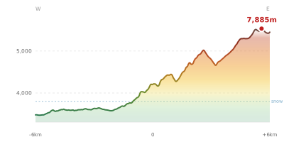
The east–west elevation profile of Distaghil Sar (7885m) in the Karakoram shows the terrain cross-section through the summit at 7,885m. The color gradient transitions from green (valley floor) to white (summit zone), with the red summit marker indicating the peak. The dashed blue snow line at 3,800m marks the approximate elevation above which permanent snow persists year-round.