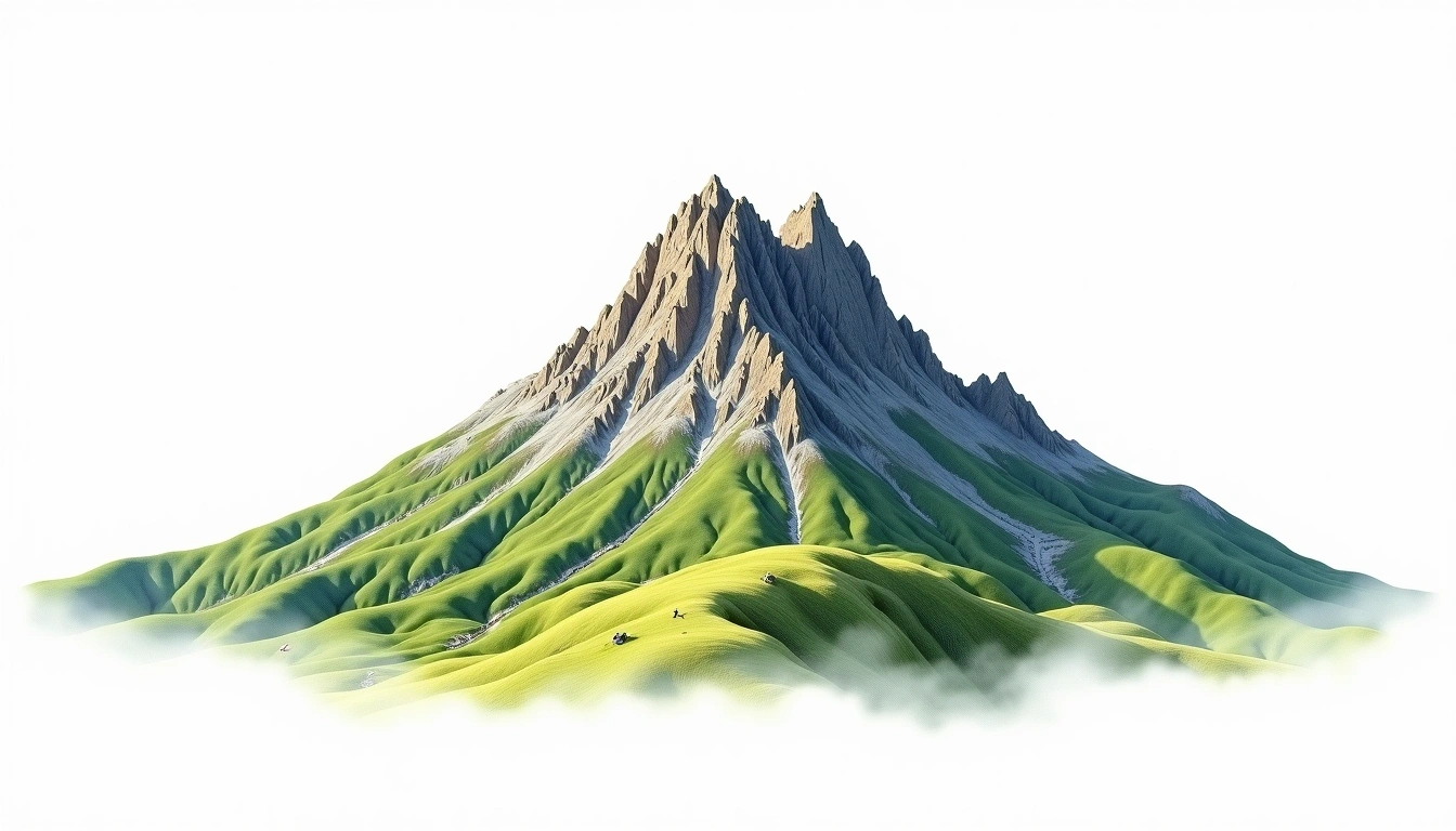
Pico de Tancitaro (3842m)
Embed This Widget
Add the script tag and a data attribute to embed this widget.
Embed via iframe for maximum compatibility.
<iframe src="https://mountainfyi.com/iframe/entity//" width="420" height="400" frameborder="0" style="border:0;border-radius:10px;max-width:100%" loading="lazy"></iframe>Paste this URL in WordPress, Medium, or any oEmbed-compatible platform.
https://mountainfyi.com/entity//Add a dynamic SVG badge to your README or docs.
[](https://mountainfyi.com/entity//)Use the native HTML custom element.
Pico de Tancitaro está a 3842 metros de altitude em Mexico, parte de Sierra Madre, North America. Este pico é classificado como volcanic.
Comparação de altitudes
Sobre esta montanha
Pico de Tancitaro (3842m) is a volcanic peak in the Sierra Madre, Mexico. Grade 2/5: moderate trek requiring good fitness. A prominent Mexican stratovolcano visible from major cities, with a classic cone and seasonal climbing conditions.
Rotas
Condições sazonais
Análise topográfica
Mapa de contorno

The topographic contour map of Pico de Tancitaro (3842m) in the Sierra Madre shows contours reflecting the unique geological character of the terrain. Contour lines are drawn at 100m intervals, with index contours (thicker lines) every 500m. The hypsometric color scale ranges from green (lower elevations) through yellow and orange to white (highest elevations near the 3,842m summit).
Perfil de elevação

The east–west elevation profile of Pico de Tancitaro (3842m) in the Sierra Madre shows the terrain cross-section through the summit at 3,842m. The color gradient transitions from green (valley floor) to white (summit zone), with the red summit marker indicating the peak.