Mount Giluwe (4368m)
Embed This Widget
Add the script tag and a data attribute to embed this widget.
Embed via iframe for maximum compatibility.
<iframe src="https://mountainfyi.com/iframe/entity//" width="420" height="400" frameborder="0" style="border:0;border-radius:10px;max-width:100%" loading="lazy"></iframe>Paste this URL in WordPress, Medium, or any oEmbed-compatible platform.
https://mountainfyi.com/entity//Add a dynamic SVG badge to your README or docs.
[](https://mountainfyi.com/entity//)Use the native HTML custom element.
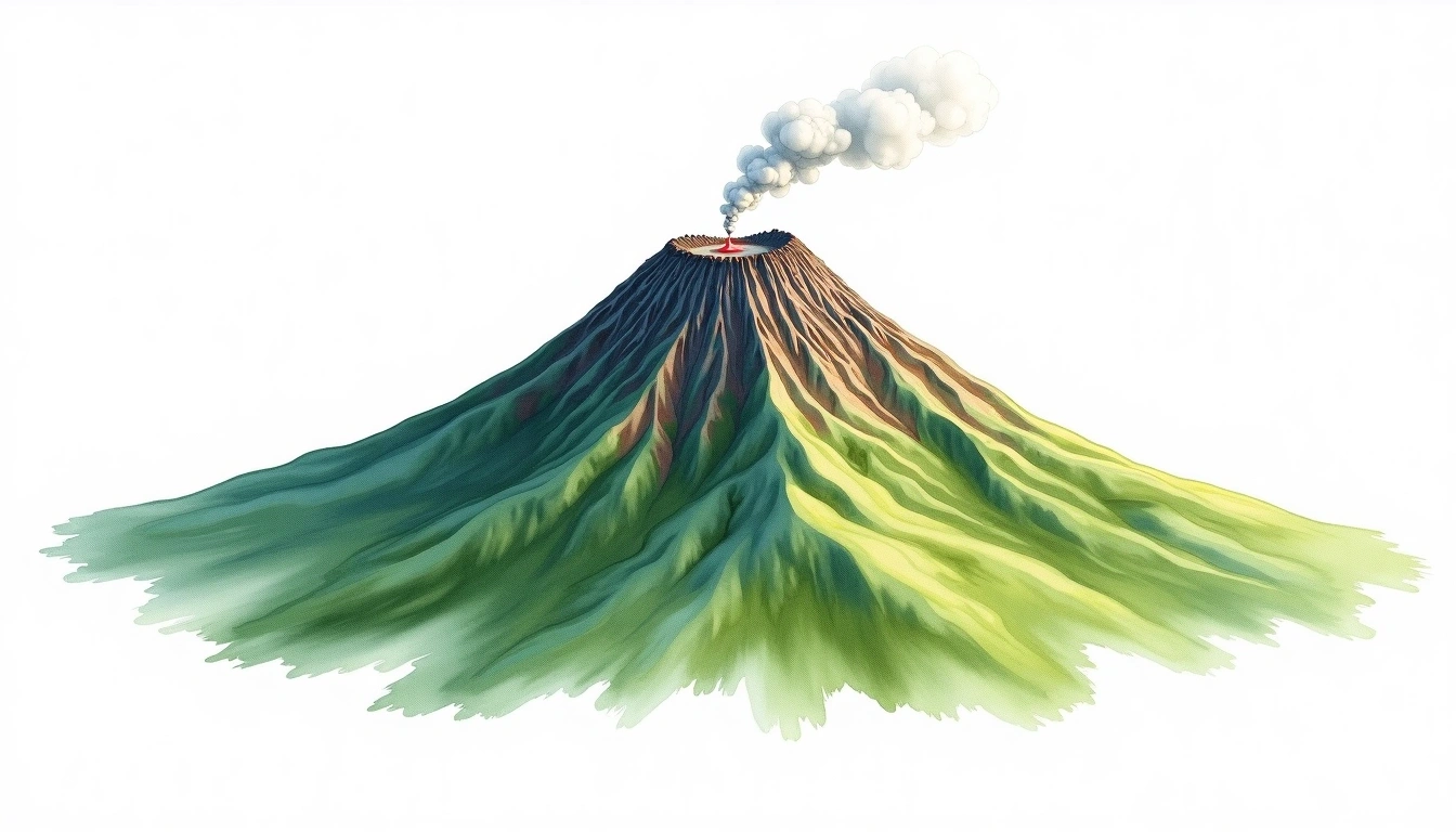
Mount Giluwe está a 4368 metros de altitude em Papua New Guinea, Oceania. Este pico é classificado como Shield Volcano.
Comparação de altitudes
Sobre esta montanha
Mount Giluwe (4368m) is a shield volcano in Papua New Guinea, Papua New Guinea. Grade 2/5: moderate trek requiring good physical fitness. Its broad shield form reflects effusive volcanic activity over geological time. Well-marked paths and reasonable gradients make it achievable for fit hikers.
Rotas
Condições sazonais
Análise topográfica
Mapa de contorno

The topographic contour map of Mount Giluwe (4368m) shows widely spaced, gently curving contours reflecting broad, low-angle slopes. Contour lines are drawn at 100m intervals, with index contours (thicker lines) every 500m. The hypsometric color scale ranges from green (lower elevations) through yellow and orange to white (highest elevations near the 4,368m summit).
Perfil de elevação

The east–west elevation profile of Mount Giluwe (4368m) shows the terrain cross-section through the summit at 4,368m. The color gradient transitions from green (valley floor) to white (summit zone), with the red summit marker indicating the peak.