Mount Davis (PA) (979m)
Embed This Widget
Add the script tag and a data attribute to embed this widget.
Embed via iframe for maximum compatibility.
<iframe src="https://mountainfyi.com/iframe/entity//" width="420" height="400" frameborder="0" style="border:0;border-radius:10px;max-width:100%" loading="lazy"></iframe>Paste this URL in WordPress, Medium, or any oEmbed-compatible platform.
https://mountainfyi.com/entity//Add a dynamic SVG badge to your README or docs.
[](https://mountainfyi.com/entity//)Use the native HTML custom element.
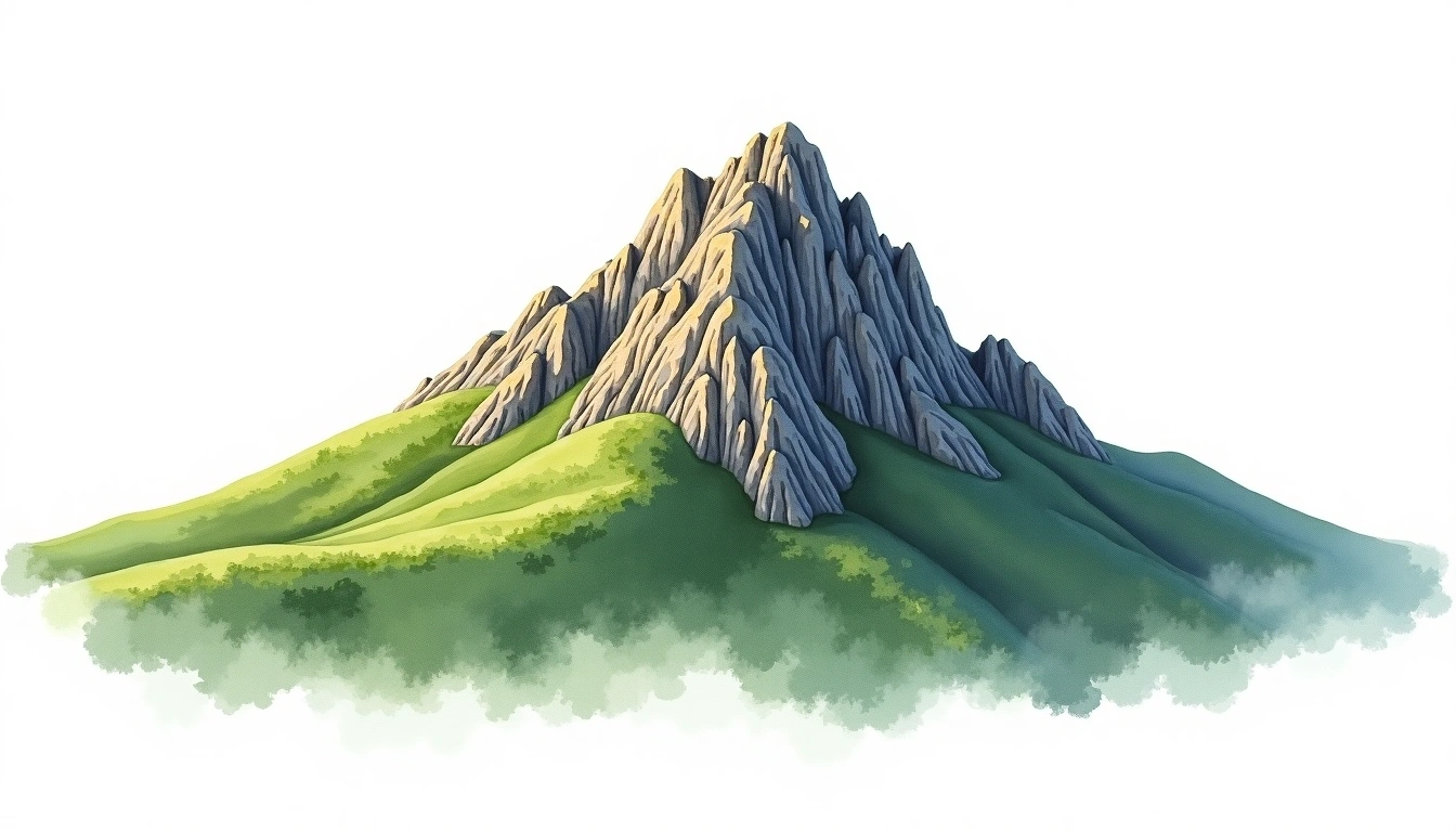
Mount Davis (PA) está a 979 metros de altitude em United States, parte de Appalachian Mountains, North America. Este pico é classificado como plateau.
Comparação de altitudes
Sobre esta montanha
Mount Davis (PA) (979m) is a plateau peak in the Appalachian Mountains, United States. Grade 1/5: accessible hike. An Appalachian summit known for its forested ridges, historic trails, and significant seasonal weather variability.
Rotas
Condições sazonais
Análise topográfica
Mapa de contorno

The topographic contour map of Mount Davis (PA) (979m) in the Appalachian Mountains shows contours reflecting the unique geological character of the terrain. Contour lines are drawn at 25m intervals, with index contours (thicker lines) every 100m. The hypsometric color scale ranges from green (lower elevations) through yellow and orange to white (highest elevations near the 979m summit).
Perfil de elevação

The east–west elevation profile of Mount Davis (PA) (979m) in the Appalachian Mountains shows the terrain cross-section through the summit at 979m. The color gradient transitions from green (valley floor) to white (summit zone), with the red summit marker indicating the peak.