Mount Ararat 4-Day South-Face Route Expedition
Embed This Widget
Add the script tag and a data attribute to embed this widget.
Embed via iframe for maximum compatibility.
<iframe src="https://mountainfyi.com/iframe/entity//" width="420" height="400" frameborder="0" style="border:0;border-radius:10px;max-width:100%" loading="lazy"></iframe>Paste this URL in WordPress, Medium, or any oEmbed-compatible platform.
https://mountainfyi.com/entity//Add a dynamic SVG badge to your README or docs.
[](https://mountainfyi.com/entity//)Use the native HTML custom element.
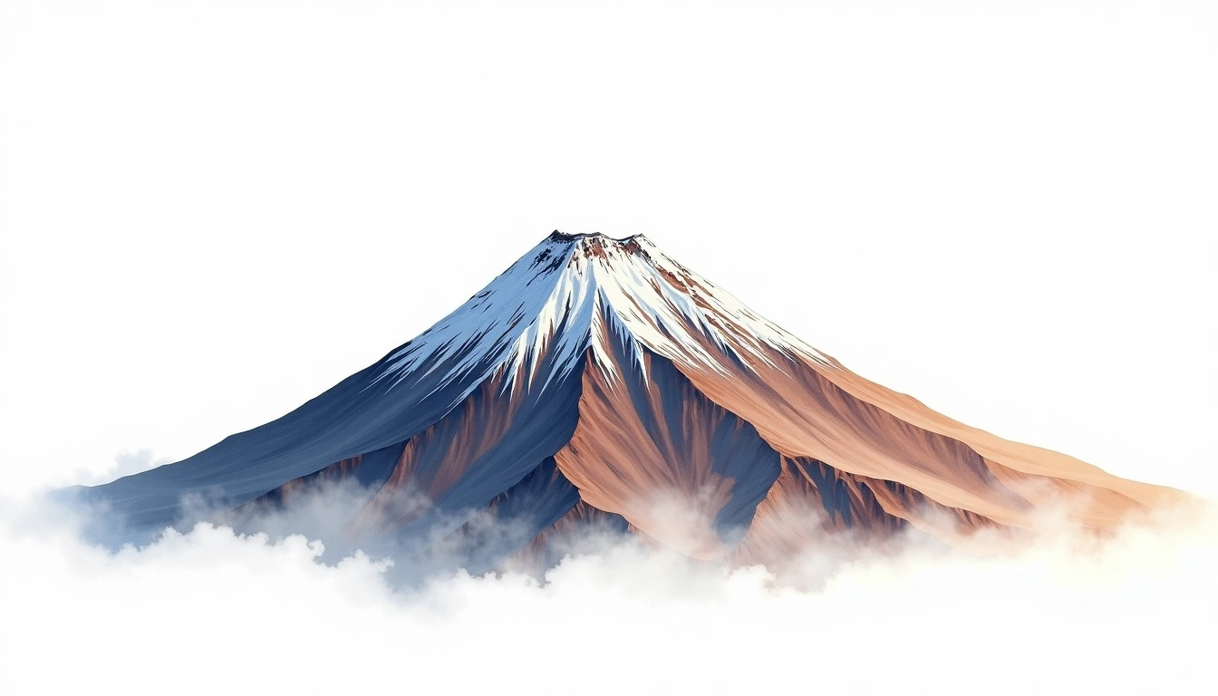
Visão geral do terreno
Ver montanha →
At 5,137m, Mount Ararat is Turkey's highest peak and one of the most mythologically significant mountains in the world. The standard south-face route departs from Doğubayazıt (1,650m) and ascends through the Ahora Gorge environs to a base camp at 3,200m, then a high camp on the upper snowfields at 4,200m before the final glacier push to the summit. A military permit and licensed guide are mandatory; the mountain sits on a restricted military zone. The upper mountain is a broad shield volcano with crevassed glaciers requiring crampons and ice axe. Conditions are best July through August when crevasse bridges are stable.
Itinerário dia a dia
Dia 1 — Day 1: Doğubayazıt to Base Camp
Drive from Doğubayazıt to the trailhead at approximately 2,100m, then hike through rocky volcanic terrain and sparse meadows to base camp. The route traverses ancient lava flows with sweeping views …
Dia 2 — Day 2: Base Camp to High Camp
Ascend onto the permanent snowfields above base camp, crossing the lower glacier to high camp at 4,200m. Crampons are typically needed from around 3,800m. The broad summit dome dominates the …
Dia 3 — Day 3: High Camp to Summit and Return to Base Camp
Midnight departure from high camp onto the upper glacier. Navigate crevassed sections with fixed rope assistance to reach the broad, windswept summit plateau at 5,137m. On clear days, views extend …
Dia 4 — Day 4: Base Camp to Doğubayazıt
Leisurely descent through volcanic meadows and lava fields back to the trailhead and transfer to Doğubayazıt. Permit paperwork is returned to authorities upon exit from the military zone.
Mount Ararat 4-Day South-Face Route Expedition
Four-day ascent of Turkey's iconic volcanic rooftop via the standard south face — two high camps, glacier travel, and permit logistics from Doğubayazıt.
Overview
At 5,137m, Mount Ararat is Turkey's highest peak and one of the most mythologically significant mountains in the world. The standard south-face route departs from Doğubayazıt (1,650m) and ascends through the Ahora Gorge environs to a base camp at 3,200m, then a high camp on the upper snowfields at 4,200m before the final glacier push to the summit. A military permit and licensed guide are mandatory; the mountain sits on a restricted military zone. The upper mountain is a broad shield volcano with crevassed glaciers requiring crampons and ice axe. Conditions are best July through August when crevasse bridges are stable.
Day 1: Doğubayazıt to Base Camp
Drive from Doğubayazıt to the trailhead at approximately 2,100m, then hike through rocky volcanic terrain and sparse meadows to base camp. The route traverses ancient lava flows with sweeping views toward the Iranian plateau. Set up camp, acclimatize, and prepare gear for the upper mountain.
Day 2: Base Camp to High Camp
Ascend onto the permanent snowfields above base camp, crossing the lower glacier to high camp at 4,200m. Crampons are typically needed from around 3,800m. The broad summit dome dominates the view ahead. Afternoon rest and early dinner to prepare for a midnight summit departure.
Day 3: High Camp to Summit and Return to Base Camp
Midnight departure from high camp onto the upper glacier. Navigate crevassed sections with rope/" class="glossary-link" title="Fixed Rope">fixed rope assistance to reach the broad, windswept summit plateau at 5,137m. On clear days, views extend into Armenia, Iran, and Azerbaijan. Descend fully to base camp for a well-earned rest.
Day 4: Base Camp to Doğubayazıt
Leisurely descent through volcanic meadows and lava fields back to the trailhead and transfer to Doğubayazıt. Permit paperwork is returned to authorities upon exit from the military zone.