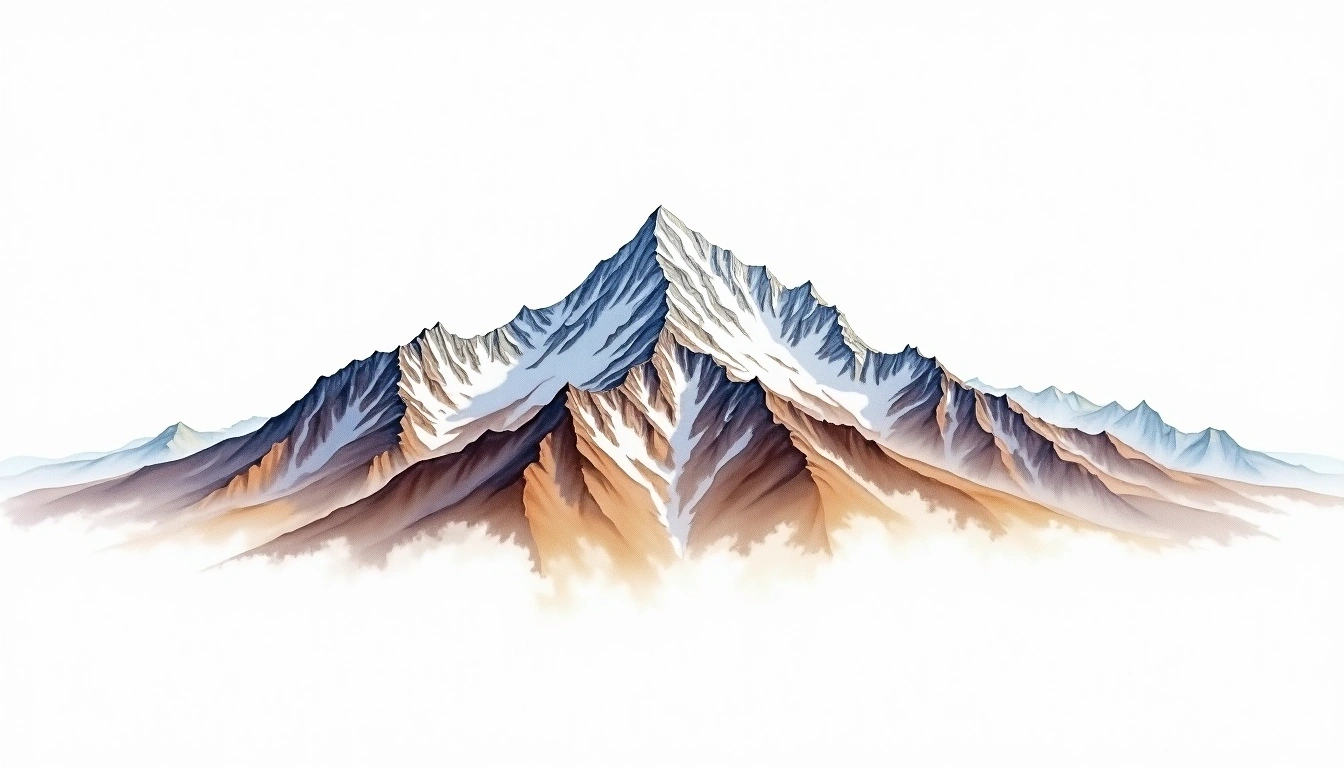
Tsenda Gang (7100m)
Embed This Widget
Add the script tag and a data attribute to embed this widget.
Embed via iframe for maximum compatibility.
<iframe src="https://mountainfyi.com/iframe/entity//" width="420" height="400" frameborder="0" style="border:0;border-radius:10px;max-width:100%" loading="lazy"></iframe>Paste this URL in WordPress, Medium, or any oEmbed-compatible platform.
https://mountainfyi.com/entity//Add a dynamic SVG badge to your README or docs.
[](https://mountainfyi.com/entity//)Use the native HTML custom element.
Tsenda Gang은(는) Bhutan에 위치하며 해발 7100 m입니다, Himalayas 소속, Asia. 이 봉우리는 Fold Mountain으로 분류됩니다.
해발 고도 비교
이 산에 대하여
Tsenda Gang (7100m) is a fold mountain in the Himalayas, Bhutan. Grade 5/5: extreme expedition where supplemental oxygen is typically required. A high Himalayan peak demanding acclimatization and alpine experience for summit attempts.
등산로
계절별 등반 조건
지형 분석
등고선 지도

The topographic contour map of Tsenda Gang (7100m) in the Himalayas shows elongated parallel contours following the ridge axis. Contour lines are drawn at 100m intervals, with index contours (thicker lines) every 500m. The hypsometric color scale ranges from green (lower elevations) through yellow and orange to white (highest elevations near the 7,100m summit). Above 4,500m, the estimated snow line at this latitude, contours transition to cooler tones indicating permanent snow and ice.
고도 프로필

The east–west elevation profile of Tsenda Gang (7100m) in the Himalayas shows the terrain cross-section through the summit at 7,100m. The color gradient transitions from green (valley floor) to white (summit zone), with the red summit marker indicating the peak. The dashed blue snow line at 4,500m marks the approximate elevation above which permanent snow persists year-round.