Manaslu (8163m)
4Manaslu은(는) Nepal에 위치하며 해발 8163 m입니다, Himalayas 소속, Asia. 이 봉우리는 Fold Mountain으로 분류됩니다.
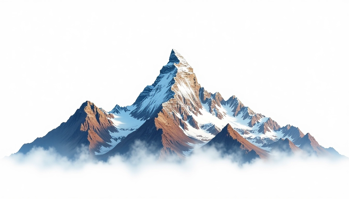
The eighth-highest mountain on Earth, Manaslu crowns the Mansiri Himal of west-central Nepal at 8,163 metres. Its name comes from a Sanskrit word meaning “mountain of the spirit,” and its long summit ridges and steep faces rise high above the Budhi Gandaki valley. Manaslu is a fold mountain produced by continental collision. The site grades it 4 of 5, a technical rather than extreme rating, and in recent years it has become one of the more commonly attempted eight-thousanders, often used as preparation for Everest. Even so, its heavily corniced final ridge and avalanche-prone slopes call for sound judgement in the region's variable weather.
On this page
해발 고도 비교
이 산에 대하여
Manaslu (8163m) is a fold mountain in the Himalayas, Nepal. Grade 4/5: technical ascent requiring mountaineering skills and equipment. Known for its dramatic rock faces and challenging weather on the Nepal-Tibet border.
등산로
계절별 등반 조건
지형 분석
등고선 지도
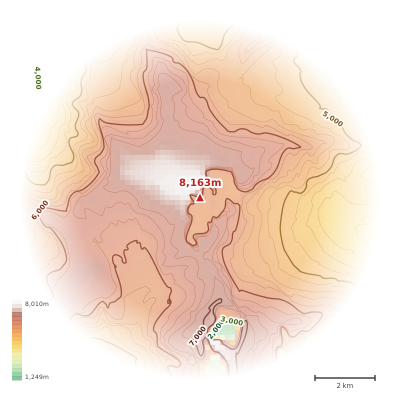
The topographic contour map of Manaslu (8163m) in the Himalayas shows elongated parallel contours following the ridge axis. Contour lines are drawn at 100m intervals, with index contours (thicker lines) every 500m. The hypsometric color scale ranges from green (lower elevations) through yellow and orange to white (highest elevations near the 8,163m summit). Above 4,500m, the estimated snow line at this latitude, contours transition to cooler tones indicating permanent snow and ice.
고도 프로필
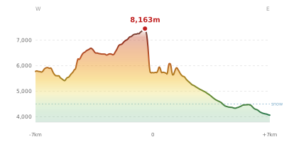
The east–west elevation profile of Manaslu (8163m) in the Himalayas shows the terrain cross-section through the summit at 8,163m. The color gradient transitions from green (valley floor) to white (summit zone), with the red summit marker indicating the peak. The dashed blue snow line at 4,500m marks the approximate elevation above which permanent snow persists year-round.