Batura II (7762m)
5Batura II은(는) Pakistan에 위치하며 해발 7762 m입니다, Karakoram 소속, Asia. 이 봉우리는 Fold Mountain으로 분류됩니다.
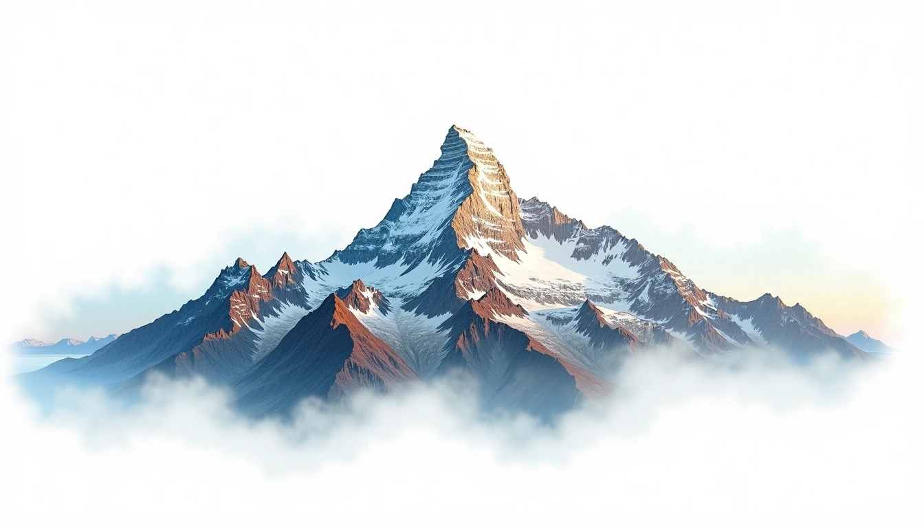
Batura II is one of the principal summits of the Batura Wall, a continuous chain of 7,000-metre peaks in the Batura Muztagh of the Pakistani Karakoram, and stands at 7,762 metres close to the higher Batura Sar. Its place along a heavily glaciated ridge, above some of the longest non-polar glaciers in the world, makes for a remote and serious objective. It is a Karakoram fold mountain, formed by continental collision. The site rates it grade 5, its most severe classification, fitting for a high and isolated peak seldom visited by climbers. Long ice approaches and sustained altitude keep its ascents infrequent.
On this page
해발 고도 비교
이 산에 대하여
Batura II (7762m) is a fold mountain in the Karakoram, Pakistan. Grade 5/5: extreme expedition where supplemental oxygen is typically required. A high Himalayan peak demanding acclimatization and alpine experience for summit attempts.
등산로
계절별 등반 조건
지형 분석
등고선 지도
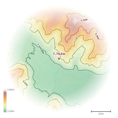
The topographic contour map of Batura II (7762m) in the Karakoram shows elongated parallel contours following the ridge axis. Contour lines are drawn at 100m intervals, with index contours (thicker lines) every 500m. The hypsometric color scale ranges from green (lower elevations) through yellow and orange to white (highest elevations near the 7,762m summit). Above 3,800m, the estimated snow line at this latitude, contours transition to cooler tones indicating permanent snow and ice.
고도 프로필
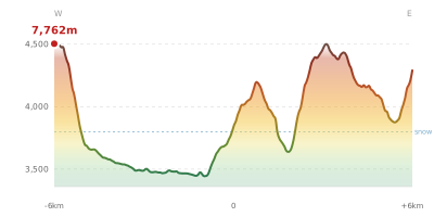
The east–west elevation profile of Batura II (7762m) in the Karakoram shows the terrain cross-section through the summit at 7,762m. The color gradient transitions from green (valley floor) to white (summit zone), with the red summit marker indicating the peak. The dashed blue snow line at 3,800m marks the approximate elevation above which permanent snow persists year-round.