Annapurna (8091m)
5Annapurna은(는) Nepal에 위치하며 해발 8091 m입니다, Himalayas 소속, Asia. 이 봉우리는 Fold Mountain으로 분류됩니다.
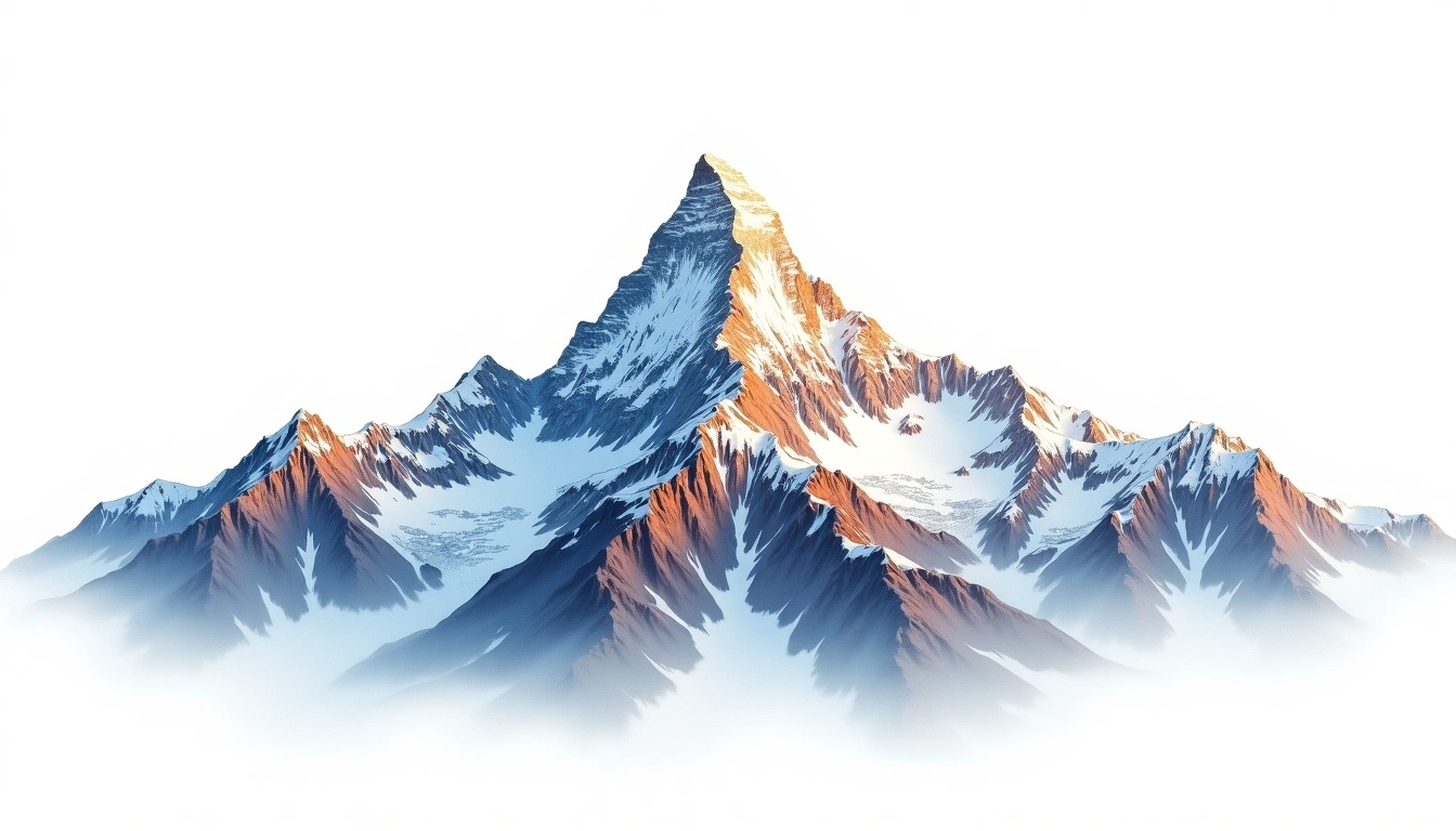
Annapurna I is the tenth-highest mountain on Earth at 8,091 metres and the high point of the Annapurna massif in north-central Nepal. In 1950 it became the first eight-thousander ever climbed, reached before any other 8,000-metre peak had been ascended. Despite that early success it is regarded as one of the most dangerous of the giants: its south face is raked by avalanches, and its fatality rate ranks among the highest of any major peak. Geologically a Himalayan fold mountain, it carries the site's grade 5 rating, reserved for extreme expeditions on which supplemental oxygen is standard and no line offers a straightforward retreat.
On this page
해발 고도 비교
이 산에 대하여
Annapurna (8091m) is a fold mountain in the Himalayas, Nepal. Grade 5/5: extreme expedition where supplemental oxygen is typically required. The highest peak in the Annapurna massif, it was the first 8000m peak ever climbed (1950).
등산로
계절별 등반 조건
지형 분석
등고선 지도
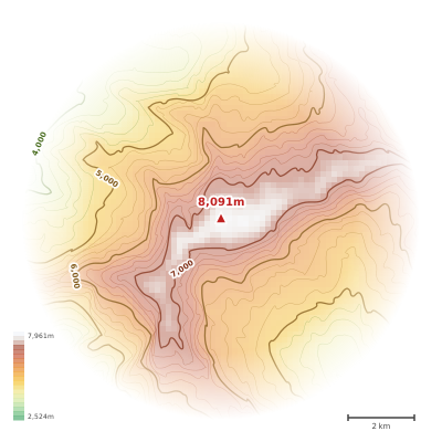
The topographic contour map of Annapurna (8091m) in the Himalayas shows elongated parallel contours following the ridge axis. Contour lines are drawn at 100m intervals, with index contours (thicker lines) every 500m. The hypsometric color scale ranges from green (lower elevations) through yellow and orange to white (highest elevations near the 8,091m summit). Above 4,500m, the estimated snow line at this latitude, contours transition to cooler tones indicating permanent snow and ice.
고도 프로필
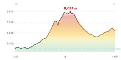
The east–west elevation profile of Annapurna (8091m) in the Himalayas shows the terrain cross-section through the summit at 8,091m. The color gradient transitions from green (valley floor) to white (summit zone), with the red summit marker indicating the peak. The dashed blue snow line at 4,500m marks the approximate elevation above which permanent snow persists year-round.