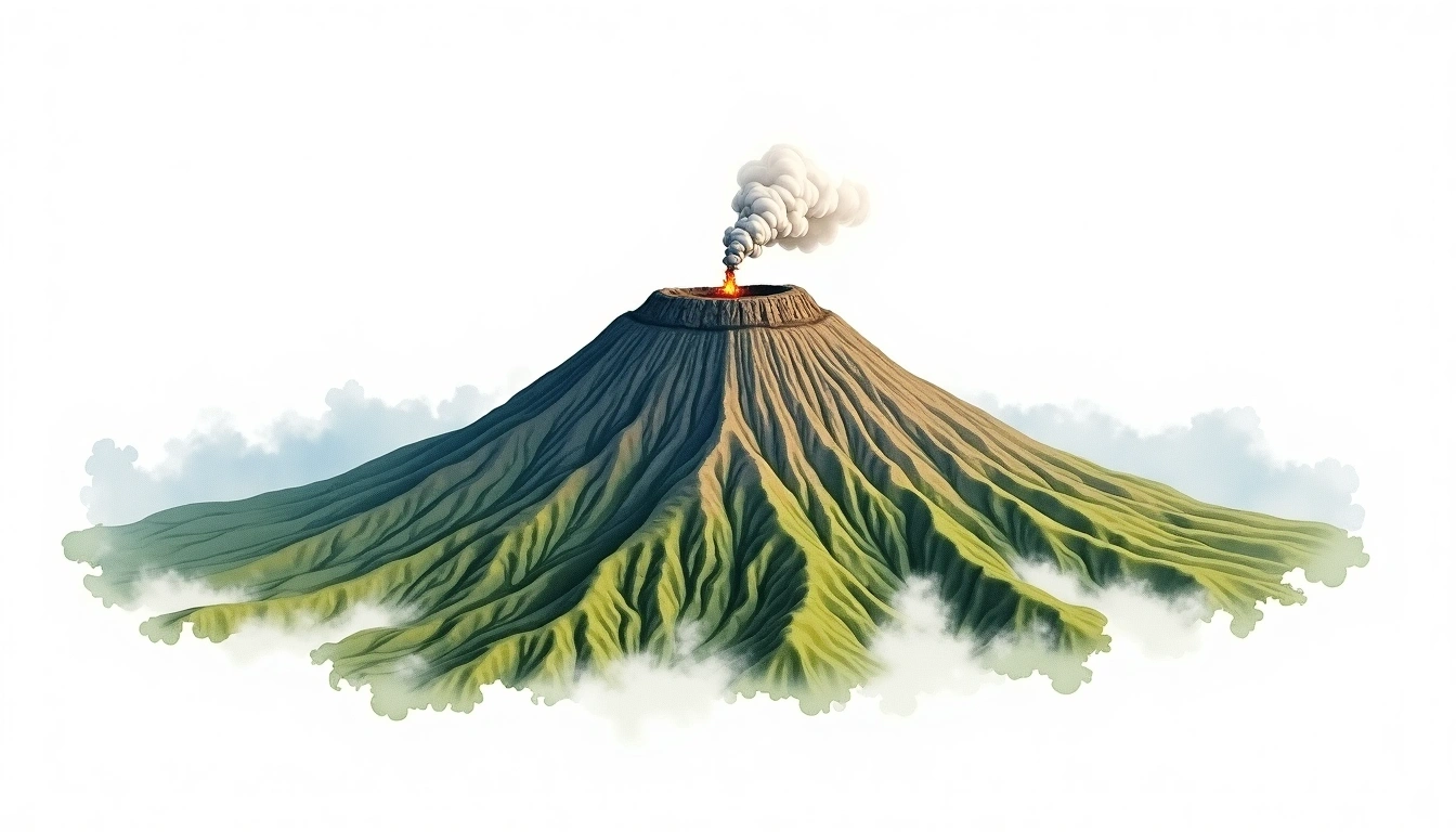
Mount Bromo (2329m)
Embed This Widget
Add the script tag and a data attribute to embed this widget.
Embed via iframe for maximum compatibility.
<iframe src="https://mountainfyi.com/iframe/entity//" width="420" height="400" frameborder="0" style="border:0;border-radius:10px;max-width:100%" loading="lazy"></iframe>Paste this URL in WordPress, Medium, or any oEmbed-compatible platform.
https://mountainfyi.com/entity//Add a dynamic SVG badge to your README or docs.
[](https://mountainfyi.com/entity//)Use the native HTML custom element.
Mount Bromo terletak pada ketinggian 2329 meter di Indonesia, Asia. Puncak ini diklasifikasikan sebagai Caldera.
Perbandingan Ketinggian
Tentang gunung ini
Mount Bromo (2329m) is a peak in Indonesia, Indonesia. Grade 1/5: accessible hike with popular trails suitable for beginners. A notable regional high point with well-established approach routes. Clear trails and gentle slopes attract hikers of all experience levels.
Rute
Kondisi Musiman
Analisis topografi
Peta kontur

The topographic contour map of Mount Bromo (2329m) shows near-circular contours that open inward, revealing the collapsed crater basin. Contour lines are drawn at 50m intervals, with index contours (thicker lines) every 250m. The hypsometric color scale ranges from green (lower elevations) through yellow and orange to white (highest elevations near the 2,329m summit).
Profil ketinggian

The east–west elevation profile of Mount Bromo (2329m) shows the terrain cross-section through the summit at 2,329m. The color gradient transitions from green (valley floor) to white (summit zone), with the red summit marker indicating the peak.