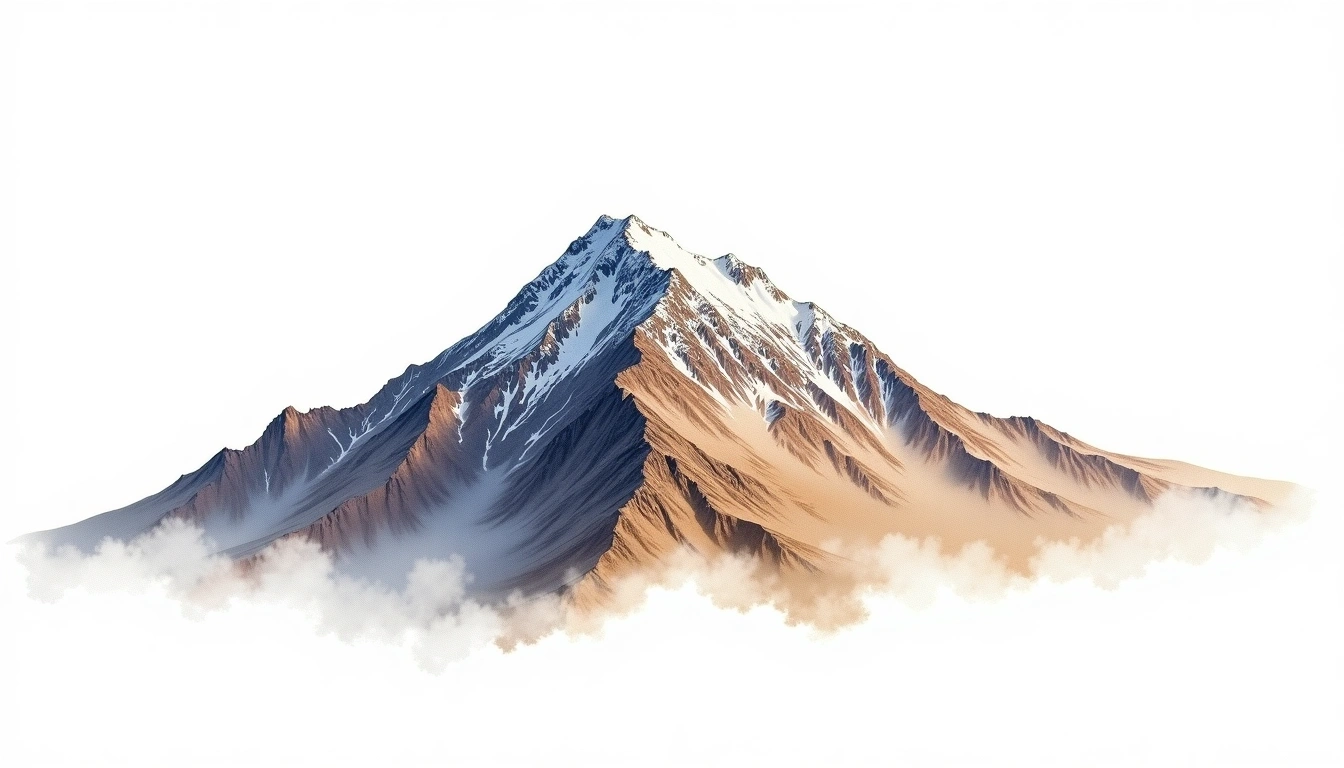
Cerro Imbabura (4621m)
Embed This Widget
Add the script tag and a data attribute to embed this widget.
Embed via iframe for maximum compatibility.
<iframe src="https://mountainfyi.com/iframe/entity//" width="420" height="400" frameborder="0" style="border:0;border-radius:10px;max-width:100%" loading="lazy"></iframe>Paste this URL in WordPress, Medium, or any oEmbed-compatible platform.
https://mountainfyi.com/entity//Add a dynamic SVG badge to your README or docs.
[](https://mountainfyi.com/entity//)Use the native HTML custom element.
Cerro Imbabura terletak pada ketinggian 4621 meter di Ecuador, bagian dari Andes, South America. Puncak ini diklasifikasikan sebagai volcanic.
Perbandingan Ketinggian
Tentang gunung ini
Cerro Imbabura (4621m) is a volcanic peak in the Andes, Ecuador. Grade 2/5: moderate trek requiring good fitness. A prominent Andean volcano rising above surrounding altiplano, drawing climbers from around the world.
Rute
Kondisi Musiman
Analisis topografi
Peta kontur

The topographic contour map of Cerro Imbabura (4621m) in the Andes shows contours reflecting the unique geological character of the terrain. Contour lines are drawn at 100m intervals, with index contours (thicker lines) every 500m. The hypsometric color scale ranges from green (lower elevations) through yellow and orange to white (highest elevations near the 4,621m summit).
Profil ketinggian

The east–west elevation profile of Cerro Imbabura (4621m) in the Andes shows the terrain cross-section through the summit at 4,621m. The color gradient transitions from green (valley floor) to white (summit zone), with the red summit marker indicating the peak.