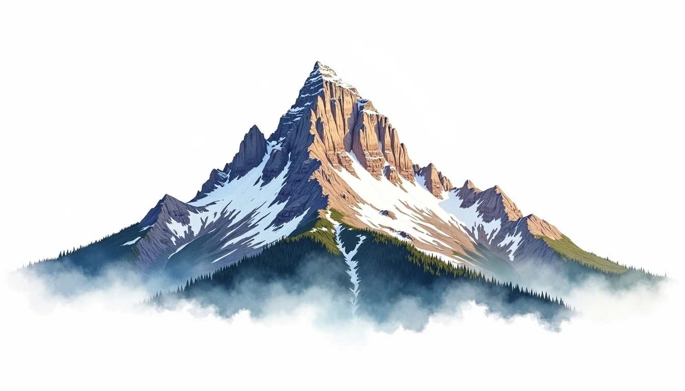
Mount Shishaldin (2857m)
Embed This Widget
Add the script tag and a data attribute to embed this widget.
Embed via iframe for maximum compatibility.
<iframe src="https://mountainfyi.com/iframe/entity//" width="420" height="400" frameborder="0" style="border:0;border-radius:10px;max-width:100%" loading="lazy"></iframe>Paste this URL in WordPress, Medium, or any oEmbed-compatible platform.
https://mountainfyi.com/entity//Add a dynamic SVG badge to your README or docs.
[](https://mountainfyi.com/entity//)Use the native HTML custom element.
Mount Shishaldin liegt auf 2857 Metern Höhe in United States, Teil der Alaska Range, North America. Dieser Gipfel wird als volcanic klassifiziert.
Höhenvergleich
Über diesen Berg
Mount Shishaldin (2857m) is a volcanic peak in the Alaska Range, United States. Grade 4/5: technical ascent requiring mountaineering skills. An Alaskan peak set amid vast wilderness, with severe weather and remote approach demanding expedition-level preparation.
Routen
Saisonale Bedingungen
Topografische Analyse
Höhenlinienkarte

The topographic contour map of Mount Shishaldin (2857m) in the Alaska Range shows contours reflecting the unique geological character of the terrain. Contour lines are drawn at 50m intervals, with index contours (thicker lines) every 250m. The hypsometric color scale ranges from green (lower elevations) through yellow and orange to white (highest elevations near the 2,857m summit). Above 2,500m, the estimated snow line at this latitude, contours transition to cooler tones indicating permanent snow and ice.
Höhenprofil

The east–west elevation profile of Mount Shishaldin (2857m) in the Alaska Range shows the terrain cross-section through the summit at 2,857m. The color gradient transitions from green (valley floor) to white (summit zone), with the red summit marker indicating the peak. The dashed blue snow line at 2,500m marks the approximate elevation above which permanent snow persists year-round.