Kangchenjunga South (8476m)
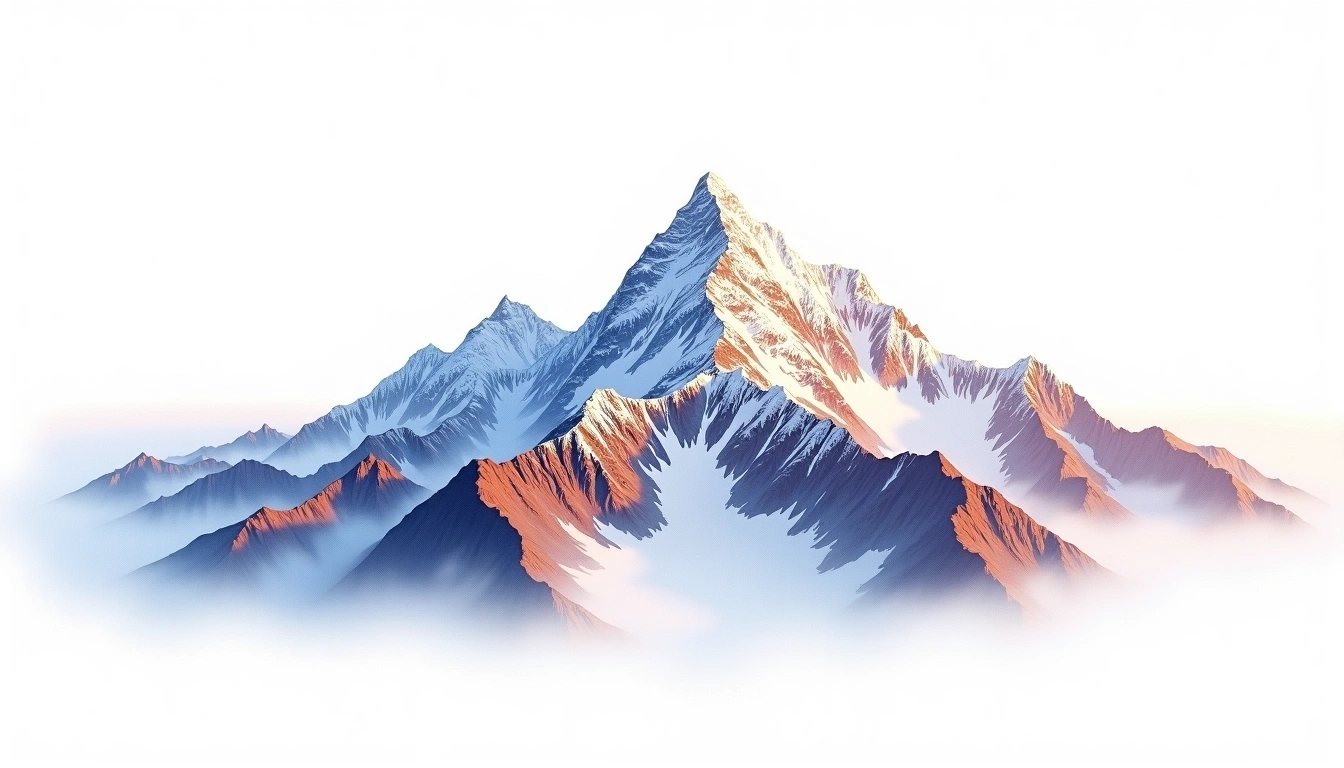
5Kangchenjunga South liegt auf 8476 Metern Höhe in Nepal, Teil der Himalayas, Asia. Dieser Gipfel wird als Fold Mountain klassifiziert.
Kangchenjunga South is a subsidiary summit of the Kangchenjunga massif in the eastern Himalaya of Nepal, rising to 8,476 metres. Although its height exceeds 8,000 metres, it is not counted among the fourteen independent eight-thousanders, because it lacks the topographic prominence that would set it apart from the main peak. It shares the fold-mountain geology of the wider massif, raised by the collision of the Indian and Eurasian plates. The site assigns it grade 5, an extreme classification usually requiring supplemental oxygen. Ascents are rare and generally undertaken as part of a traverse across the several high tops that crown the massif.
On this page
Höhenvergleich
Über diesen Berg
Kangchenjunga South (8476m) is a fold mountain in the Himalayas, Nepal. Grade 5/5: extreme expedition where supplemental oxygen is typically required. Formed by tectonic compression, it displays layered rock strata typical of fold ranges.
Routen
Saisonale Bedingungen
Topografische Analyse
Höhenlinienkarte
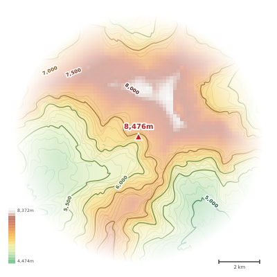
The topographic contour map of Kangchenjunga South (8476m) in the Himalayas shows elongated parallel contours following the ridge axis. Contour lines are drawn at 200m intervals, with index contours (thicker lines) every 1000m. The hypsometric color scale ranges from green (lower elevations) through yellow and orange to white (highest elevations near the 8,476m summit). Above 4,500m, the estimated snow line at this latitude, contours transition to cooler tones indicating permanent snow and ice.
Höhenprofil
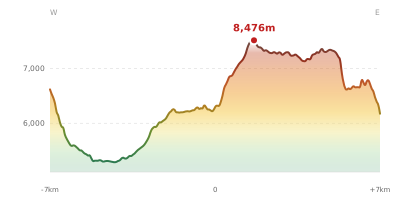
The east–west elevation profile of Kangchenjunga South (8476m) in the Himalayas shows the terrain cross-section through the summit at 8,476m. The color gradient transitions from green (valley floor) to white (summit zone), with the red summit marker indicating the peak. The dashed blue snow line at 4,500m marks the approximate elevation above which permanent snow persists year-round.