Mont Dolent via Swiss Route — August 2020 Summit Report
Embed This Widget
Add the script tag and a data attribute to embed this widget.
Embed via iframe for maximum compatibility.
<iframe src="https://mountainfyi.com/iframe/entity//" width="420" height="400" frameborder="0" style="border:0;border-radius:10px;max-width:100%" loading="lazy"></iframe>Paste this URL in WordPress, Medium, or any oEmbed-compatible platform.
https://mountainfyi.com/entity//Add a dynamic SVG badge to your README or docs.
[](https://mountainfyi.com/entity//)Use the native HTML custom element.
الظروف
- الطقس
- Settled August weather. Cool and clear with excellent visibility. The tri-border point was clearly visible.
- الثلج
- Mixed snow and rock on the ridge. Glacier approach with hidden crevasses.
- درجة الحرارة
- -5°C to 10°C
- الرياح
- Moderate 15-20 km/h on the exposed ridge
المخطط الارتفاعي
عرض الجبل →
Mont Dolent via Swiss Route — August 2020 Summit Report
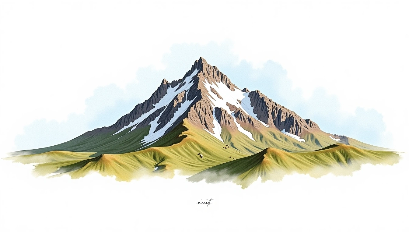
Mont Dolent is unique — its summit is the geographic point where Switzerland, France, and Italy meet. The climb from the Swiss side starts at Cabane de l'A Neuve and crosses the Pre de Bar glacier before ascending the northwest ridge. The mixed climbing on the upper ridge is engaging, and the summit is intimate — room for only a few people. Standing simultaneously in three countries while surrounded by the Mont Blanc massif is unforgettable.
Trip Overview
Mountain: Mont Dolent (3820m) Date: August 14, 2020 Duration: 2 days Party Size: 2 Outcome: Summit
Conditions
Weather: Settled August weather. Cool and clear with excellent visibility. The tri-border point was clearly visible. Snow: Mixed snow and rock on the ridge. Glacier approach with hidden crevasses. Temperature: -5°C to 10°C Wind: Moderate 15-20 km/h on the exposed ridge
Difficulty Assessment
Mont Dolent sits at the triple border of Switzerland, France, and Italy. The Swiss route from Cabane de l'A Neuve involves glacier crossing and a mixed rock-snow ridge. Route-finding on the upper ridge requires experience. Not heavily trafficked.