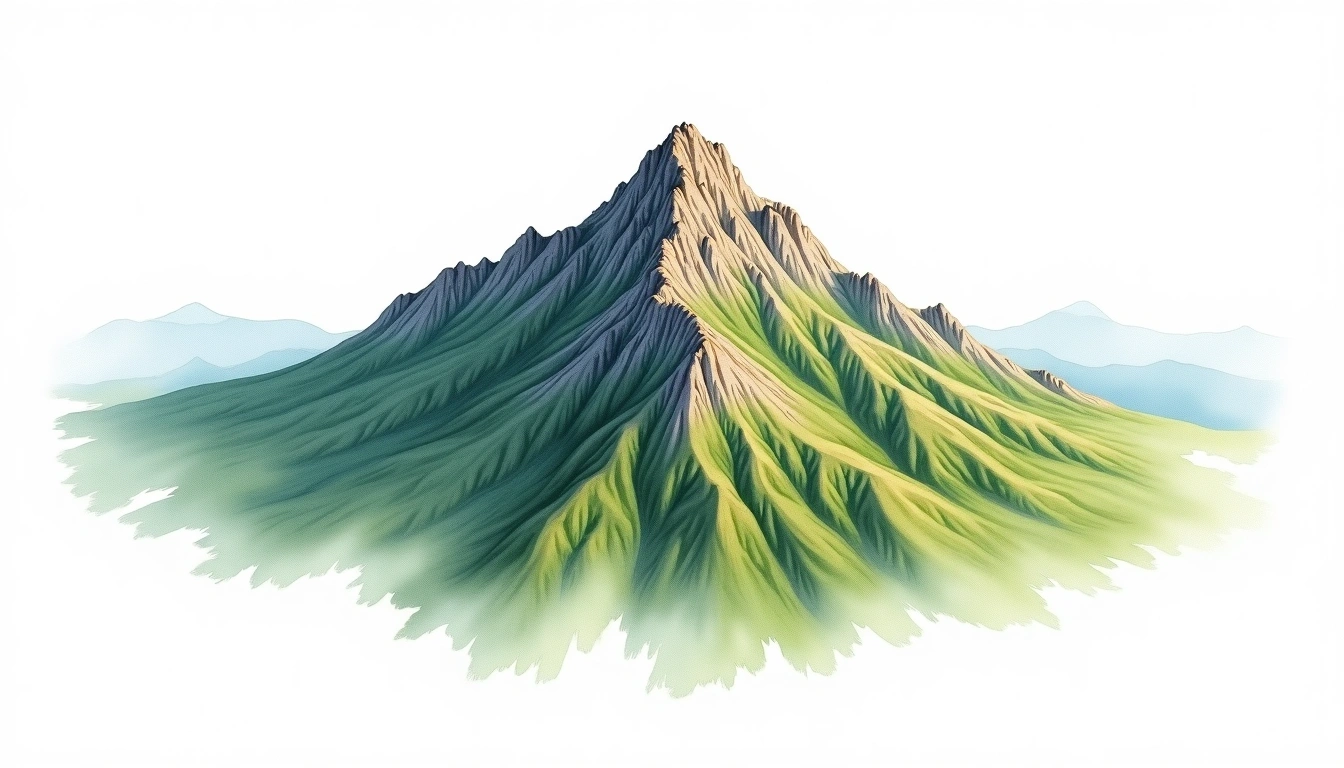
Pic des 4 Heures (1019m)
Embed This Widget
Add the script tag and a data attribute to embed this widget.
Embed via iframe for maximum compatibility.
<iframe src="https://mountainfyi.com/iframe/entity//" width="420" height="400" frameborder="0" style="border:0;border-radius:10px;max-width:100%" loading="lazy"></iframe>Paste this URL in WordPress, Medium, or any oEmbed-compatible platform.
https://mountainfyi.com/entity//Add a dynamic SVG badge to your README or docs.
[](https://mountainfyi.com/entity//)Use the native HTML custom element.
Pic des 4 Heures cao 1019 mét tại Guinea, Africa. Đỉnh này được phân loại là Fold Mountain.
So sánh độ cao
Về ngọn núi này
Pic des 4 Heures (1019m) is a fold mountain in Guinea. Grade 2/5: moderate trek requiring good fitness. A regional summit offering rewarding walks through varied landscapes with notable views from the top.
Tuyến đường
Điều kiện theo mùa
Phân tích địa hình
Bản đồ đường đồng mức

The topographic contour map of Pic des 4 Heures (1019m) shows elongated parallel contours following the ridge axis. Contour lines are drawn at 25m intervals, with index contours (thicker lines) every 100m. The hypsometric color scale ranges from green (lower elevations) through yellow and orange to white (highest elevations near the 1,019m summit).
Hồ sơ độ cao

The east–west elevation profile of Pic des 4 Heures (1019m) shows the terrain cross-section through the summit at 1,019m. The color gradient transitions from green (valley floor) to white (summit zone), with the red summit marker indicating the peak.