Gasherbrum I (8080m)
5Gasherbrum I cao 8080 mét tại Pakistan, thuộc Karakoram, Asia. Đỉnh này được phân loại là Fold Mountain.
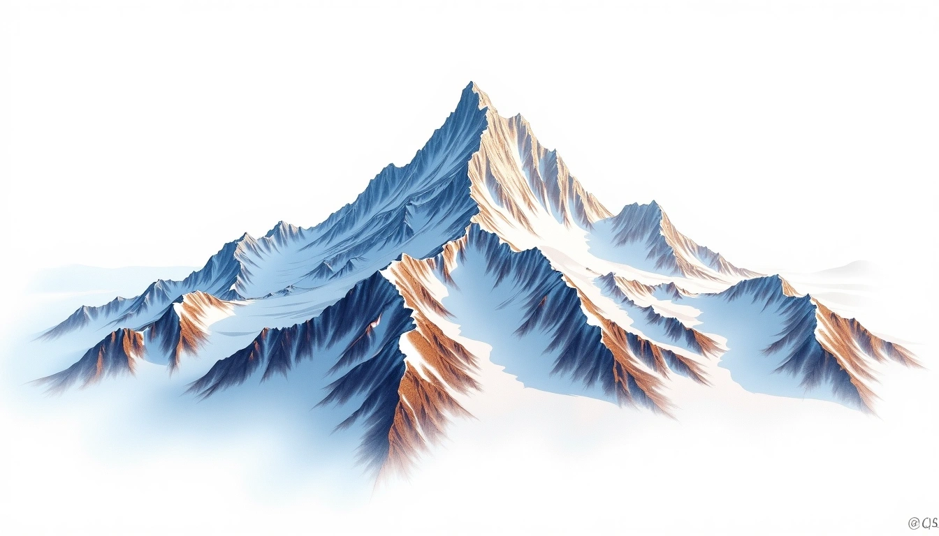
Gasherbrum I, also called Hidden Peak, is the eleventh-highest mountain in the world and, at 8,080 metres, the tallest summit of the Gasherbrum group in the Pakistani Karakoram. It earns the “Hidden” name because surrounding peaks screen it from view until a climber is deep within the Baltoro Glacier system. A fold mountain of the Karakoram, it belongs to a compact cluster of giants near the head of the glacier. The site classifies it grade 5, its most demanding category, indicating a full expedition with bottled oxygen and no straightforward line of retreat. Its remote position, reached only after a long glacier approach, keeps visitor numbers low.
On this page
So sánh độ cao
Về ngọn núi này
Gasherbrum I (8080m) is a fold mountain in the Karakoram, Pakistan. Grade 5/5: extreme expedition where supplemental oxygen is typically required. Formed by tectonic compression, it displays layered rock strata typical of fold ranges.
Tuyến đường
Điều kiện theo mùa
Phân tích địa hình
Bản đồ đường đồng mức
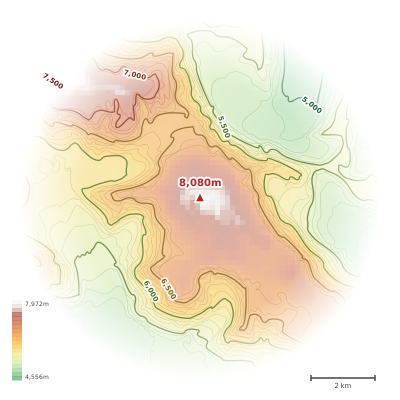
The topographic contour map of Gasherbrum I (8080m) in the Karakoram shows elongated parallel contours following the ridge axis. Contour lines are drawn at 100m intervals, with index contours (thicker lines) every 500m. The hypsometric color scale ranges from green (lower elevations) through yellow and orange to white (highest elevations near the 8,080m summit). Above 3,800m, the estimated snow line at this latitude, contours transition to cooler tones indicating permanent snow and ice.
Hồ sơ độ cao
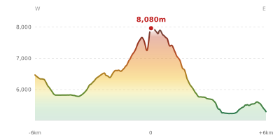
The east–west elevation profile of Gasherbrum I (8080m) in the Karakoram shows the terrain cross-section through the summit at 8,080m. The color gradient transitions from green (valley floor) to white (summit zone), with the red summit marker indicating the peak. The dashed blue snow line at 3,800m marks the approximate elevation above which permanent snow persists year-round.