Mount Shasta via Avalanche Gulch — June 2020 Summit Report
Embed This Widget
Add the script tag and a data attribute to embed this widget.
Embed via iframe for maximum compatibility.
<iframe src="https://mountainfyi.com/iframe/entity//" width="420" height="400" frameborder="0" style="border:0;border-radius:10px;max-width:100%" loading="lazy"></iframe>Paste this URL in WordPress, Medium, or any oEmbed-compatible platform.
https://mountainfyi.com/entity//Add a dynamic SVG badge to your README or docs.
[](https://mountainfyi.com/entity//)Use the native HTML custom element.
สภาพแวดล้อม
- สภาพอากาศ
- High pressure system brought clear, warm conditions. Snowmelt was advanced for early June, with the Red Banks nearly free of snow.
- หิมะ
- Softening spring snow, good for climbing until late morning. Sun cups forming.
- อุณหภูมิ
- -5°C to 12°C
- ลม
- Calm overnight, building to 15-20 km/h by afternoon
โปรไฟล์ระดับความสูง
ดูภูเขา →
Mount Shasta via Avalanche Gulch — June 2020 Summit Report
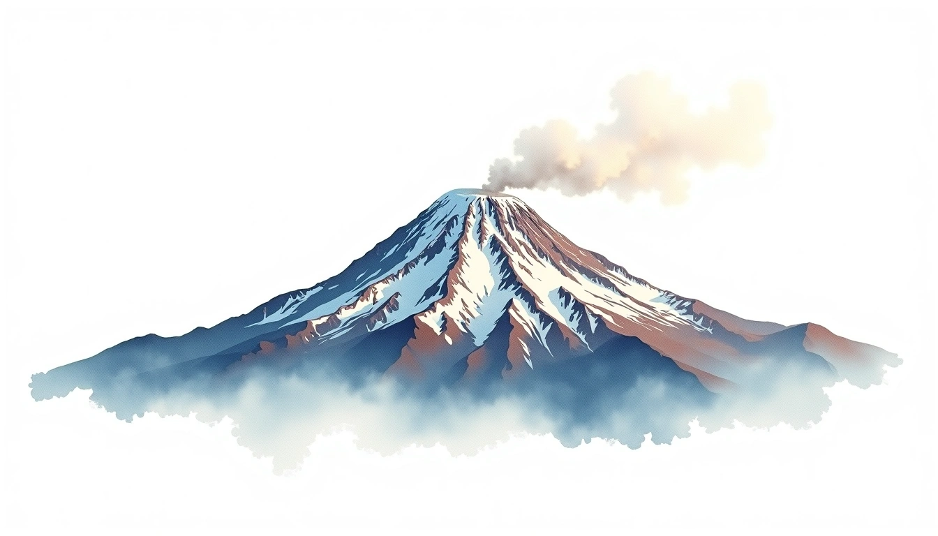
Shasta stands alone — a massive volcanic cone visible for 100 miles in every direction. The Avalanche Gulch route is a test of endurance: 2,300m of gain with no technical reprieve. We camped at Helen Lake (3,050m) and pushed for the summit at 3 AM. The views from the top — Lassen to the south, the Trinity Alps to the west — are among the most expansive in the Cascades.
Trip Overview
Mountain: Mount Shasta (4322m) Date: June 07, 2020 Duration: 2 days Party Size: 4 Outcome: Summit
Conditions
Weather: High pressure system brought clear, warm conditions. Snowmelt was advanced for early June, with the Red Banks nearly free of snow. Snow: Softening spring snow, good for climbing until late morning. Sun cups forming. Temperature: -5°C to 12°C Wind: Calm overnight, building to 15-20 km/h by afternoon
Difficulty Assessment
Avalanche Gulch is a direct, relentless climb gaining 2,300m from Bunny Flat. The Red Banks rock band at 3,900m requires navigation through loose volcanic rock. Altitude hits harder than expected because the climb starts at relatively low elevation.