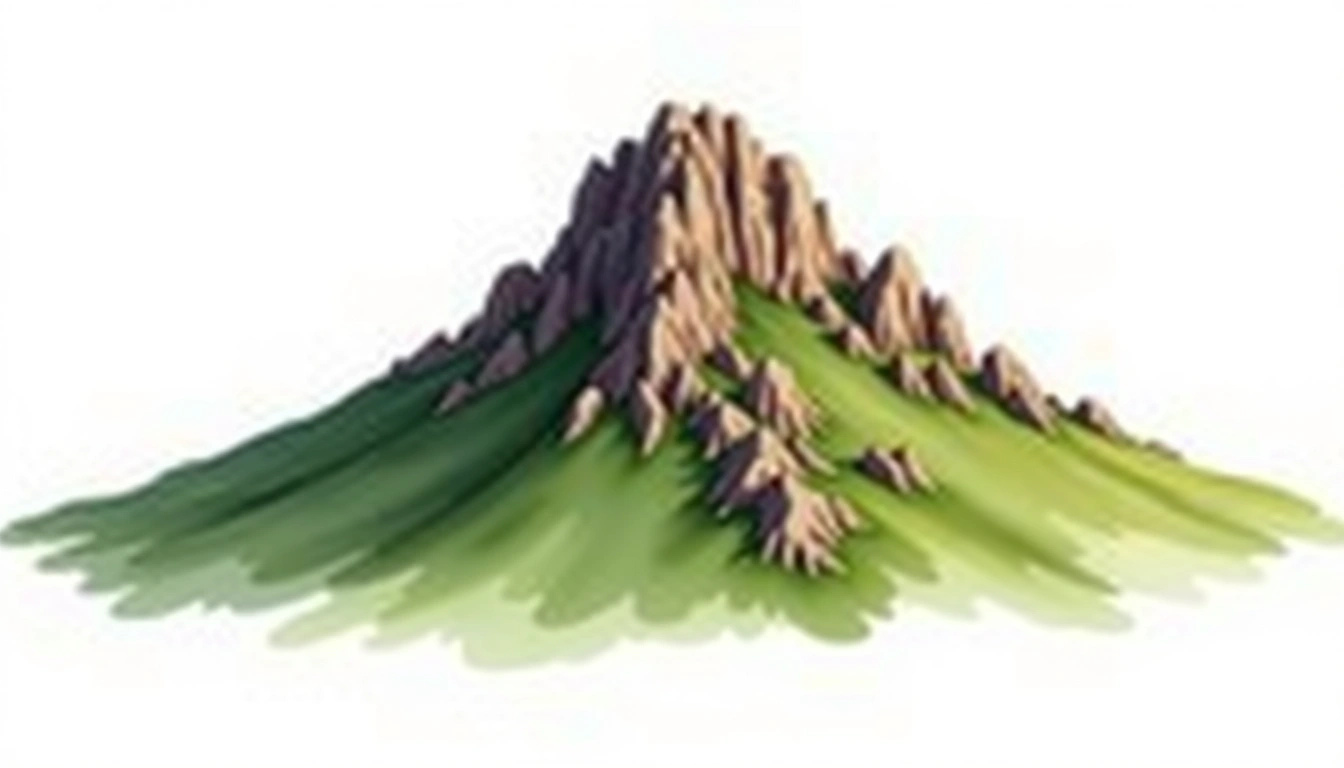
Signal Hill (350m)
Embed This Widget
Add the script tag and a data attribute to embed this widget.
Embed via iframe for maximum compatibility.
<iframe src="https://mountainfyi.com/iframe/entity//" width="420" height="400" frameborder="0" style="border:0;border-radius:10px;max-width:100%" loading="lazy"></iframe>Paste this URL in WordPress, Medium, or any oEmbed-compatible platform.
https://mountainfyi.com/entity//Add a dynamic SVG badge to your README or docs.
[](https://mountainfyi.com/entity//)Use the native HTML custom element.
Signal Hill ตั้งอยู่ที่ความสูง 350 เมตร ในSouth Africa, Africa. ยอดเขานี้จัดอยู่ในประเภท granite_peak
การเปรียบเทียบความสูง
เกี่ยวกับภูเขานี้
Signal Hill (350m) is a peak in South Africa, South Africa. Grade 1/5: accessible hike with popular trails suitable for beginners. A distinctive summit within its local topography. Clear trails and gentle slopes attract hikers of all experience levels.
เส้นทาง
สภาพตามฤดูกาล
การวิเคราะห์ภูมิประเทศ
แผนที่เส้นชั้นความสูง

The topographic contour map of Signal Hill (350m) shows contours reflecting the unique geological character of the terrain. Contour lines are drawn at 10m intervals, with index contours (thicker lines) every 50m. The hypsometric color scale ranges from green (lower elevations) through yellow and orange to white (highest elevations near the 350m summit).
โปรไฟล์ระดับความสูง

The east–west elevation profile of Signal Hill (350m) shows the terrain cross-section through the summit at 350m. The color gradient transitions from green (valley floor) to white (summit zone), with the red summit marker indicating the peak.