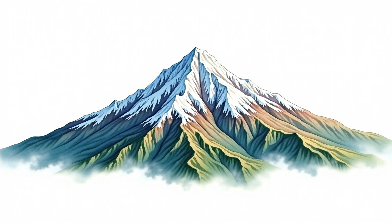
Mount Manaraga (1662m)
Embed This Widget
Add the script tag and a data attribute to embed this widget.
Embed via iframe for maximum compatibility.
<iframe src="https://mountainfyi.com/iframe/entity//" width="420" height="400" frameborder="0" style="border:0;border-radius:10px;max-width:100%" loading="lazy"></iframe>Paste this URL in WordPress, Medium, or any oEmbed-compatible platform.
https://mountainfyi.com/entity//Add a dynamic SVG badge to your README or docs.
[](https://mountainfyi.com/entity//)Use the native HTML custom element.
Mount Manaraga ตั้งอยู่ที่ความสูง 1662 เมตร ในRussia, เป็นส่วนหนึ่งของUral Mountains, Europe. ยอดเขานี้จัดอยู่ในประเภท Fold Mountain
การเปรียบเทียบความสูง
เกี่ยวกับภูเขานี้
Mount Manaraga (1662m) is a fold mountain in the Ural Mountains, Russia. Grade 2/5: moderate trek requiring good fitness. A regional summit offering rewarding walks through varied landscapes with notable views from the top.
เส้นทาง
สภาพตามฤดูกาล
การวิเคราะห์ภูมิประเทศ
แผนที่เส้นชั้นความสูง

The topographic contour map of Mount Manaraga (1662m) in the Ural Mountains shows elongated parallel contours following the ridge axis. Contour lines are drawn at 50m intervals, with index contours (thicker lines) every 250m. The hypsometric color scale ranges from green (lower elevations) through yellow and orange to white (highest elevations near the 1,662m summit). Above 1,500m, the estimated snow line at this latitude, contours transition to cooler tones indicating permanent snow and ice.
โปรไฟล์ระดับความสูง

The east–west elevation profile of Mount Manaraga (1662m) in the Ural Mountains shows the terrain cross-section through the summit at 1,662m. The color gradient transitions from green (valley floor) to white (summit zone), with the red summit marker indicating the peak. The dashed blue snow line at 1,500m marks the approximate elevation above which permanent snow persists year-round.