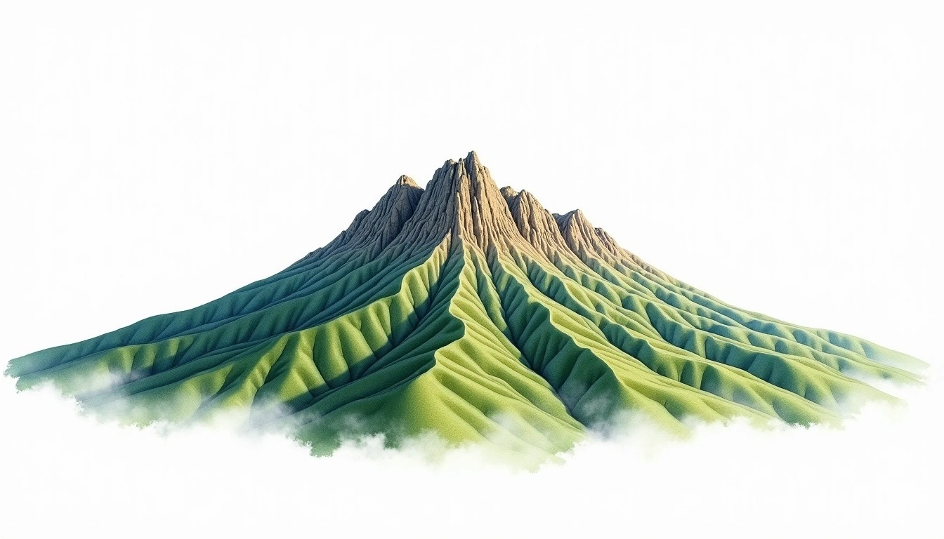
Pico da Bandeira (2891m)
Embed This Widget
Add the script tag and a data attribute to embed this widget.
Embed via iframe for maximum compatibility.
<iframe src="https://mountainfyi.com/iframe/entity//" width="420" height="400" frameborder="0" style="border:0;border-radius:10px;max-width:100%" loading="lazy"></iframe>Paste this URL in WordPress, Medium, or any oEmbed-compatible platform.
https://mountainfyi.com/entity//Add a dynamic SVG badge to your README or docs.
[](https://mountainfyi.com/entity//)Use the native HTML custom element.
Pico da Bandeira stands at 2891 meters in Brazil, South America. This peak is classified as a Fold Mountain.
Elevation Comparison
About This Mountain
Pico da Bandeira (2891m) is a fold mountain in Brazil. Grade 2/5: moderate trek requiring good fitness. A well-regarded peak in its region, offering accessible terrain and panoramic views for fit hikers.
Routes
Seasonal Conditions
Topographic Analysis
Contour Map

The topographic contour map of Pico da Bandeira (2891m) shows elongated parallel contours following the ridge axis. Contour lines are drawn at 50m intervals, with index contours (thicker lines) every 250m. The hypsometric color scale ranges from green (lower elevations) through yellow and orange to white (highest elevations near the 2,891m summit).
Elevation Profile

The east–west elevation profile of Pico da Bandeira (2891m) shows the terrain cross-section through the summit at 2,891m. The color gradient transitions from green (valley floor) to white (summit zone), with the red summit marker indicating the peak.