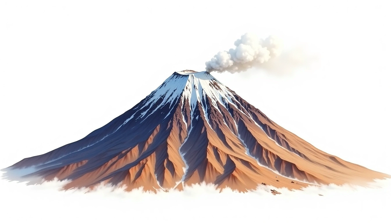
El Misti (5822m)
Embed This Widget
Add the script tag and a data attribute to embed this widget.
Embed via iframe for maximum compatibility.
<iframe src="https://mountainfyi.com/iframe/entity//" width="420" height="400" frameborder="0" style="border:0;border-radius:10px;max-width:100%" loading="lazy"></iframe>Paste this URL in WordPress, Medium, or any oEmbed-compatible platform.
https://mountainfyi.com/entity//Add a dynamic SVG badge to your README or docs.
[](https://mountainfyi.com/entity//)Use the native HTML custom element.
El Misti stands at 5822 meters in Peru, part of the Andes, South America. This peak is classified as a Stratovolcano.
Elevation Comparison
About This Mountain
El Misti (5822m) is a stratovolcano in the Andes, Peru. Grade 2/5: moderate trek requiring good physical fitness. This stratovolcano rises steeply from the surrounding terrain with a classic conical profile. Well-marked paths and reasonable gradients make it achievable for fit hikers.
Routes
Seasonal Conditions
Topographic Analysis
Contour Map

The topographic contour map of El Misti (5822m) in the Andes shows near-circular, closely spaced contours indicating steep conical slopes. Contour lines are drawn at 100m intervals, with index contours (thicker lines) every 500m. The hypsometric color scale ranges from green (lower elevations) through yellow and orange to white (highest elevations near the 5,822m summit). Above 4,800m, the estimated snow line at this latitude, contours transition to cooler tones indicating permanent snow and ice.
Elevation Profile

The east–west elevation profile of El Misti (5822m) in the Andes shows the terrain cross-section through the summit at 5,822m. The color gradient transitions from green (valley floor) to white (summit zone), with the red summit marker indicating the peak. The dashed blue snow line at 4,800m marks the approximate elevation above which permanent snow persists year-round.