Broad Peak (8051m)
5Broad Peak stands at 8051 meters in Pakistan, part of the Karakoram, Asia. This peak is classified as a Fold Mountain.
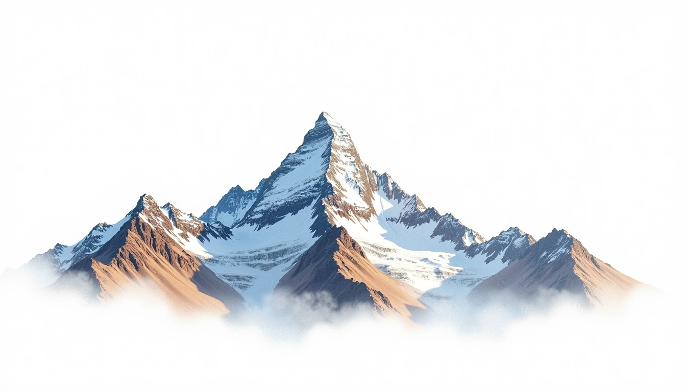
At 8,051 metres, Broad Peak is the twelfth-highest mountain on Earth and one of the cluster of giants ringing the Baltoro Glacier in the Karakoram of Pakistan. Its name describes the mountain's form: a long summit crest well over a kilometre wide, carrying several tops of similar height. It is a fold mountain raised by the India–Asia collision, standing close to K2 and the Gasherbrums. The site rates it grade 5, an extreme classification, and although it is sometimes considered one of the more attainable Karakoram eight-thousanders, its broad, corniced summit ridge has repeatedly turned back climbers who mistook a lower top for the true summit.
On this page
Elevation Comparison
About This Mountain
Broad Peak (8051m) is a fold mountain in the Karakoram, Pakistan. Grade 5/5: extreme expedition where supplemental oxygen is typically required. Formed by tectonic compression, it displays layered rock strata typical of fold ranges.
Routes
Seasonal Conditions
Topographic Analysis
Contour Map
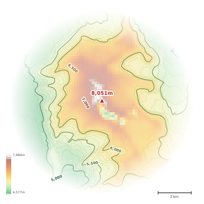
The topographic contour map of Broad Peak (8051m) in the Karakoram shows elongated parallel contours following the ridge axis. Contour lines are drawn at 100m intervals, with index contours (thicker lines) every 500m. The hypsometric color scale ranges from green (lower elevations) through yellow and orange to white (highest elevations near the 8,051m summit). Above 3,800m, the estimated snow line at this latitude, contours transition to cooler tones indicating permanent snow and ice.
Elevation Profile
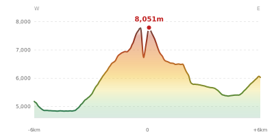
The east–west elevation profile of Broad Peak (8051m) in the Karakoram shows the terrain cross-section through the summit at 8,051m. The color gradient transitions from green (valley floor) to white (summit zone), with the red summit marker indicating the peak. The dashed blue snow line at 3,800m marks the approximate elevation above which permanent snow persists year-round.