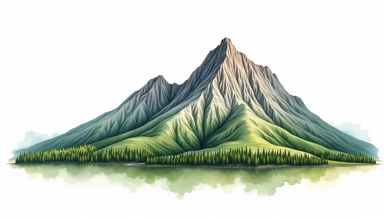
Jonendake (2857m)
Embed This Widget
Add the script tag and a data attribute to embed this widget.
Embed via iframe for maximum compatibility.
<iframe src="https://mountainfyi.com/iframe/entity//" width="420" height="400" frameborder="0" style="border:0;border-radius:10px;max-width:100%" loading="lazy"></iframe>Paste this URL in WordPress, Medium, or any oEmbed-compatible platform.
https://mountainfyi.com/entity//Add a dynamic SVG badge to your README or docs.
[](https://mountainfyi.com/entity//)Use the native HTML custom element.
Jonendake은(는) Japan에 위치하며 해발 2857 m입니다, Japanese Alps 소속, Asia. 이 봉우리는 Fold Mountain으로 분류됩니다.
해발 고도 비교
이 산에 대하여
Jonendake (2857m) is a fold mountain in the Japanese Alps, Japan. Grade 2/5: moderate trek requiring good physical fitness. Formed by tectonic compression, it displays layered rock strata typical of fold ranges. Well-marked paths and reasonable gradients make it achievable for fit hikers.
등산로
계절별 등반 조건
지형 분석
등고선 지도

The topographic contour map of Jonendake (2857m) in the Japanese Alps shows elongated parallel contours following the ridge axis. Contour lines are drawn at 50m intervals, with index contours (thicker lines) every 250m. The hypsometric color scale ranges from green (lower elevations) through yellow and orange to white (highest elevations near the 2,857m summit).
고도 프로필

The east–west elevation profile of Jonendake (2857m) in the Japanese Alps shows the terrain cross-section through the summit at 2,857m. The color gradient transitions from green (valley floor) to white (summit zone), with the red summit marker indicating the peak.